Snowfall Report:
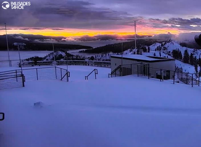
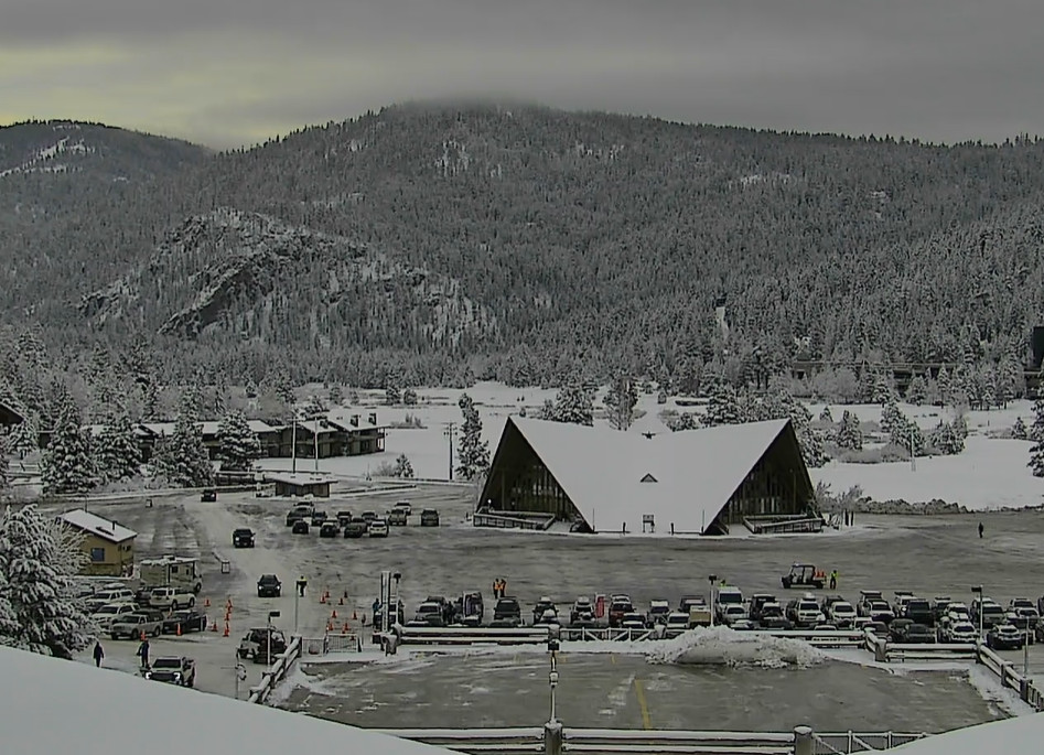
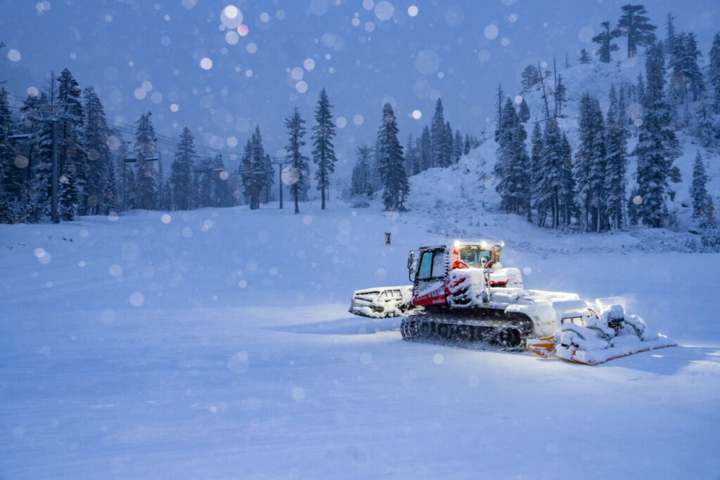
We were expecting mostly rain at the base, 1-6 inches at mid-mountain, and 6-14 inches on the upper mountain from the Mon-Tue storm. It looks like that is exactly what we picked up, right in that range with the official 2-day total reported from the upper mountain of 10 inches of base-building snow.
Wednesday Weather:
We could see a few scattered showers throughout the day. The snow levels should stay above 7000 ft. Highs in the 30s with lighter winds.
Drier Pattern:
Thursday through Christmas Day, and possibly into the 26th, we expect partly-mostly sunny skies each day. Highs into the 40s for the lower elevations near the base and 30s for the upper mountain through Friday.
We will cool down into the 30s for the weekend behind a dry cold front Friday night as a system moves through to our north. Then by Christmas Day into the 26th highs will likely warm back into the 40s for the lower elevations.
Long-Range Forecast:
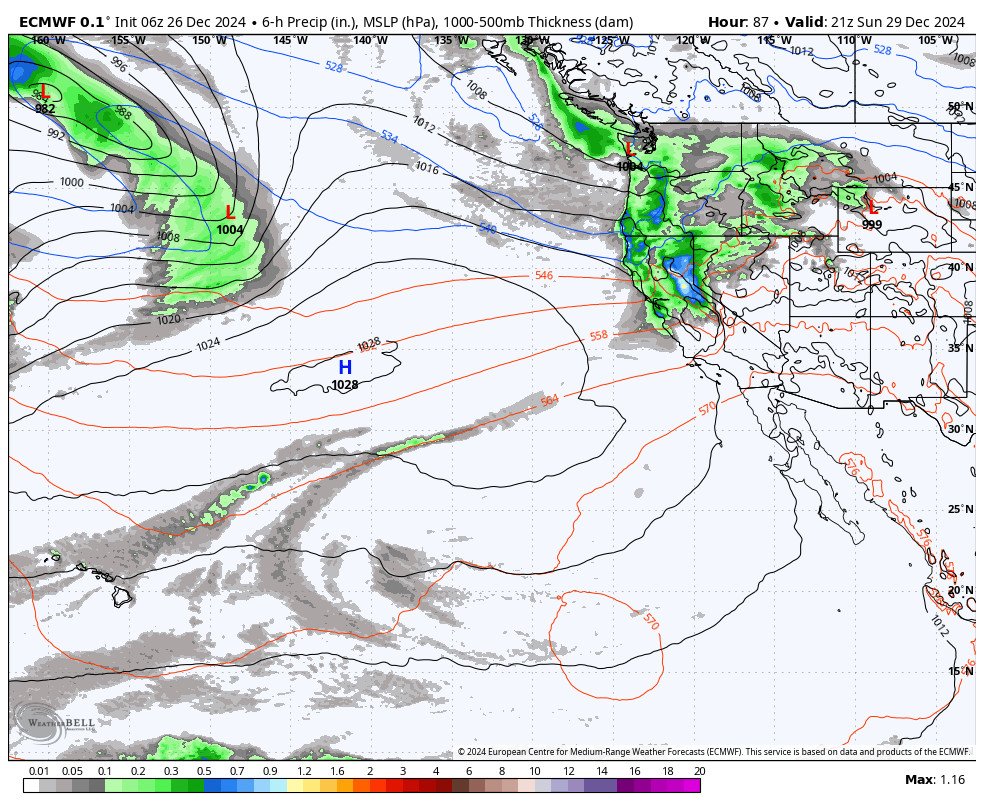
The long-range models have been showing a pattern change for the last week of December since the first week of December. They continue to show the northeast Pacific trough pushing into the West Coast by the 27th with an extended Pacific jet stream aimed toward CA.
That is expected to open the storm door through the end of the month and into the beginning of January. We could see some moderate-strength storms during the period with enough cold air for decent mountain snowfall. The models are still in good agreement that the first storm could move in next Wednesday the 27th.
The storms could continue to move through every 2-3 days through January 2nd according to the latest operational model runs. The long-range ensemble mean models are now in fairly good agreement that we will see near to slightly above-average precipitation amounts during the 7-day period.
We’ll continue to watch the trends to see if the active pattern sets up starting around the 27th, with more details for each potential storm as they get closer.
BA


