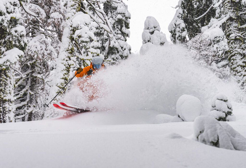
It’s no secret that the start of the 25/26 ski and ride season was not what anyone had hoped for. Persistently warm temperatures and a lack of precipitation definitely tested our patience. Then everything changed.
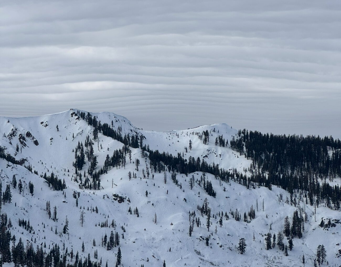
Over the past week, Palisades Tahoe went from operating a couple chairlifts to having the second-most lifts open in America, a true Tahoe-style shift from zero to hero. This extraordinary progress in such a short window is a direct result of the relentless effort from teams across all mountain operations.
As we head into the weekend, that momentum continues. Another strong winter system is set to move in late tonight and persist through Sunday night, bringing periods of heavy snow at upper elevations, gusty winds, and rapidly changing mountain conditions.
Below, you’ll find the latest information on the upcoming weather, lift and terrain expectations, safety considerations, and ways to make the most of your visit through the weekend and into the week ahead. For real time information at your fingertips, download the Ikon Pass App for updates on things like lift status, events, weather, and more.
Weather Forecast Overview
Friday Night – Sunday Storm:
A significant winter storm is set to impact the region beginning Friday night and continuing through Sunday night, bringing periods of steady to heavy precipitation.
- Precipitation timing:
- A break between storms Friday during the day allows for mostly cloudy skies with some sun
- Valley rain and mountain snow move in overnight Friday into Saturday morning
- Heavier snow returns Saturday night into Sunday morning, with lingering snow showers into Sunday night
- Snow levels:
- Start around 8,000 ft Friday night
- Drop to 6,800 – 7,300 ft by Saturday morning
- Lower further to 5,900 – 6,400 ft Saturday afternoon, fluctuating near or below the base through Sunday
- Snow levels drop even lower Sunday night as the storm exits, increasing the likelihood of snow to the base from Saturday afternoon onward
- Winds:
- Gusty southwest winds throughout the weekend
- Saturday: ridgetop gusts 70 – 80+ mph
- Sunday: ridgetop gusts 60 – 70+ mph
- These winds may impact the upper mountain lift operations
- Temperatures:
- Lower elevations: highs in the 30s
- Upper elevations: highs in the 20s
Significant snowfall combined with strong winds will likely require extensive avalanche mitigation, particularly Sunday into Monday.
Monday System
The Monday night system is trending weaker and farther south, with most precipitation remaining west of the Sierra.
- Colder temperatures and decreasing winds
- Only 1 – 3 inches of additional snow expected
Tuesday – Thursday Outlook
- Tuesday: Dry, mostly sunny, and cold
- Wednesday into Thursday: A weak system may bring a final round of light snow, measured in inches, not feet
- Highs remain in the 30s at lower elevations and 20s higher up
For more detailed forecast information and model analysis, visit our Weather Blog, written by Brian Allegretto of OpenSnow.
Lifts, Terrain & Operational Expectations
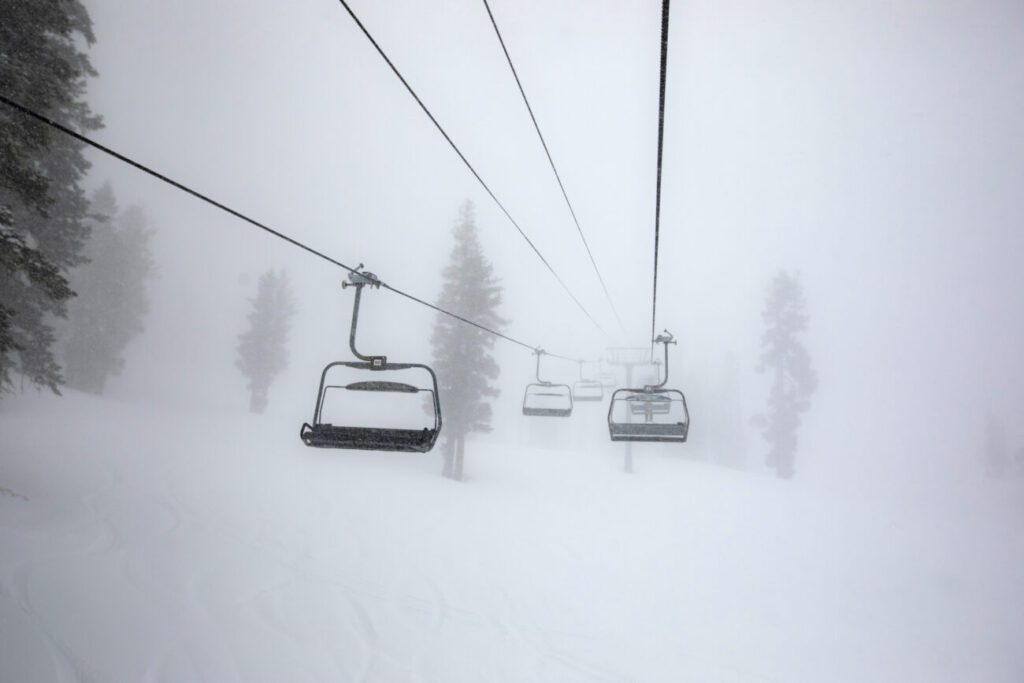
With significant snowfall and strong winds in the forecast, lift operations may be impacted at times, particularly across the upper mountain.
- Ridgetop winds could delay or limit access to certain lifts
- Saturday and Sunday may include limited operations with lower mountain terrain open on Snow King Peak and KT Peak
- If operations are focused on the lower mountain, additional lifts may be added to the operating schedule as conditions allow.
- In the event the Base to Base Gondola is on a wind hold, the Palisades Tahoe Shuttle will run between our two base areas
- Ongoing snowfall and avalanche mitigation work may affect the timing and extent of terrain openings
- Our teams will work to open as much terrain as possible at a safe and efficient rate
Lift and terrain status may change throughout the day. Please check the Ikon Pass App and Mountain Report for the most up-to-date information.
Moving at the Speed of Safety
Winter has arrived in full force at Palisades Tahoe. While these storms deliver exceptional snow, they also require careful, deliberate work behind the scenes. Our teams are working around the clock to open terrain and lifts as safely and efficiently as conditions allow. In the event there are terrain closures or lift delays, please know these decisions are made in the interest of safety. As terrain opens, early-season conditions may still exist in places, and hazards can remain in thin spots.
January is Ski California Safety Month, a great reminder that shared responsibility helps keep everyone safe on the mountain.
- Learn more about mountain safety
- Take the Safety Quiz for a chance to win a local pass
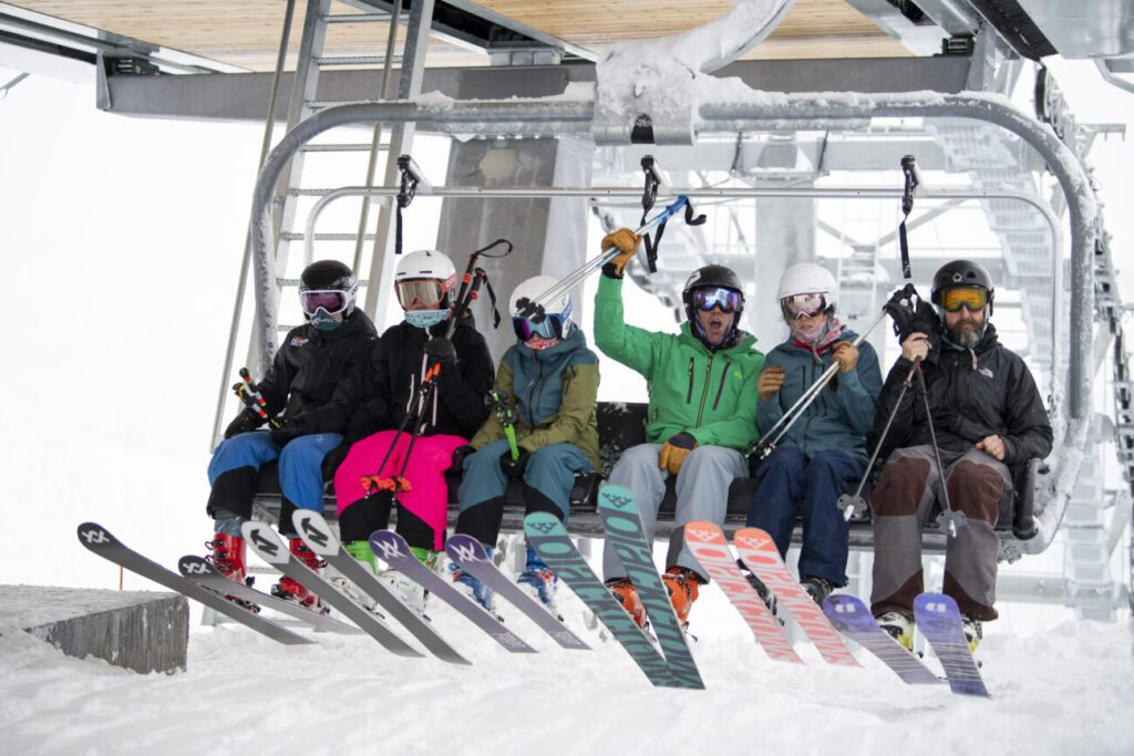
Make the Most of Your Visit
There’s always something happening at Palisades Tahoe, both on and off the mountain. From on-mountain activities to village events and après offerings, there are plenty of ways to round out your visit beyond skiing and riding.
To explore what’s happening while you’re around, check out:
- Events Calendar – A complete look at events happening across the resort, from live music to seasonal celebrations
- Activity Finder – Discover on- and off-mountain activities, dining options, and experiences for all ages
With MLK Weekend approaching, guests can expect higher visitation and a lively atmosphere across the resort. For tips on what to expect, how to plan ahead, and ways to make the most of the holiday weekend, visit our MLK Weekend Guide.
Additional Tips:
- If visiting this weekend, plan ahead for transportation. Parking reservations are required prior to 1pm on Jan 3 – 4. Carpooling, public transit, and alternative transportation options help reduce congestion and improve arrival times.
- Park & Ride is a great option to get to the resort. Scheduled to run every Saturday and Sunday that parking reservations are required.
- Our parking team is planning to run the third lane setup on Olympic Valley Road for egress traffic on Friday and Saturday. The ability to run this setup on Sunday may be limited due to road conditions with new snow.
- Consider skiing or riding midweek. Tuesday and beyond are shaping up to offer great snow, lighter crowds, and smoother access.
- Expect variable conditions. Storm cycles can bring incredible snow, but also wind holds and staggered lift openings.
- Don’t forget to track your days and stats in the Ikon Pass App. With the season now fully underway, the leaderboard is officially in play. We’ll see you out there.
See You on the Mountain
After a slow start, winter has arrived in a big way at Palisades Tahoe. With a solid snowpack building, more terrain coming online, and additional storms in the forecast, the season is gaining momentum by the day.
Whether you’re here this weekend or planning ahead, thank you for your patience and flexibility as our teams continue working through an active storm cycle.