We’re anxiously awaiting this weekend’s storm system that is forecast to drop up to three feet of snow throughout the mountains. There will be challenges to go along with this storm system, so let’s discuss expectations for how operations may be impacted.
Weekend Overview
Beginning Thursday night, rain will move into the region and continue throughout most of Friday until it turns to snow later at night. Strong winds will accompany this wave of precipitation that could cause wind holds throughout Friday and Saturday. It appears that snow levels should drop to lake level by midnight-1AM Saturday morning which is also when the heaviest precip is forecast to move in. It should snow for most of Saturday before the second wave of snow moves in Sunday. What will this mean operationally?
Lift Operations
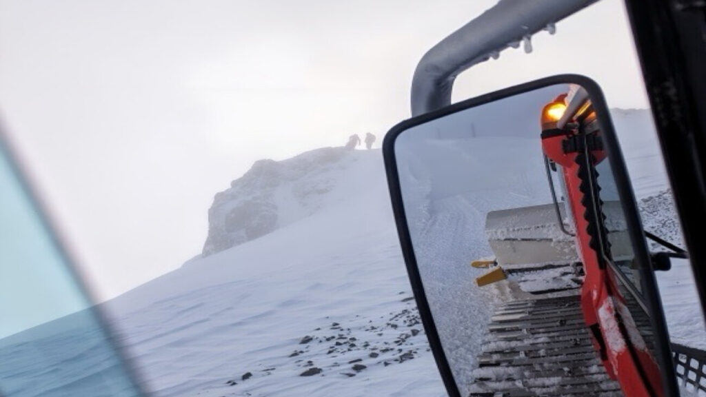
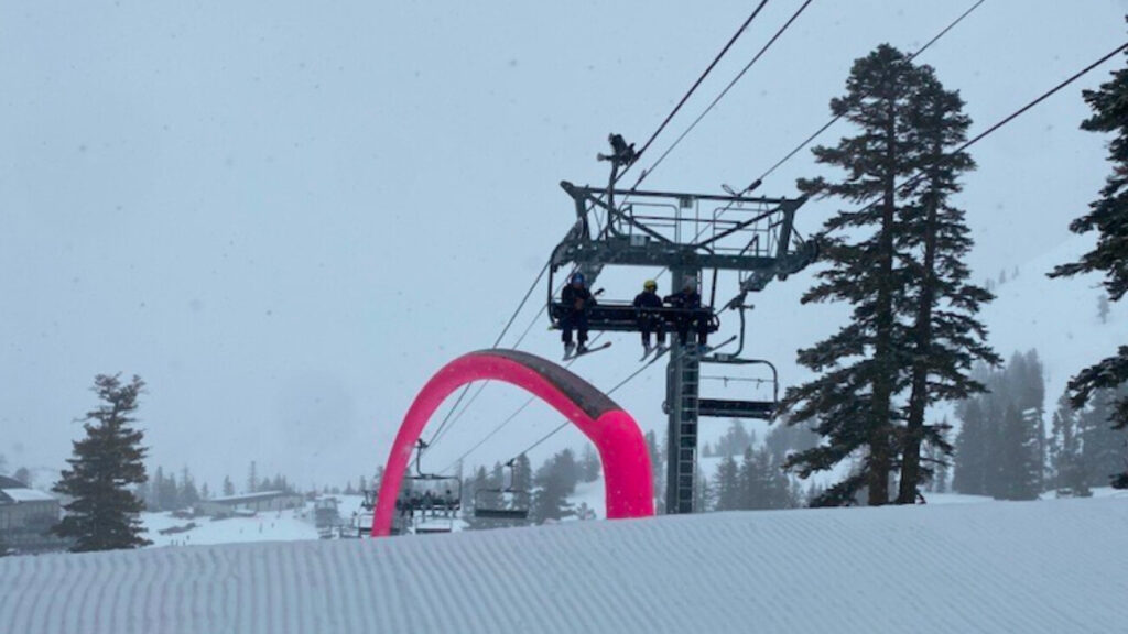
Winds are forecast to be exceptionally strong on Friday and moderately strong on Saturday. Some lifts, particularly upper mountain, will not be able to open. When we are unable to spin the lifts, it is common for chairlifts to exhibit significant icing issues that prevent on-time openings the following morning. In short, there is a strong likelihood that we will see wind holds and delayed openings as our Mountain Operations team will need ample time to de-ice effected chairlifts that are cleared to open.
Snow Safety
Forecasts are calling for heavy snow throughout late Friday and most of Saturday before Sunday’s wave moves in. Ski Patrol will be out on the hill as soon as possible to begin snow safety in the morning. Per California law, Patrol cannot begin using explosives until there is enough daylight to see the terrain below them. With snow falling fast and hard, it’s a good bet they will get a later start than normal. Further, having fresh snow fall onto a wet snowpack can cause increased avalanche risk that may hinder Ski Patrol from accessing certain terrain. To summarize: with a lot of new snow falling in a short amount of time, snow safety is going to be critical and given the weather, there is a high probability terrain will have delayed openings or remain closed as patrol works to get it open.
Road Conditions
Roads will be wet, slow, and busy this weekend. Plan ahead! Keep in mind that Alpine Meadows Road may have to be closed in order to perform avalanche control work.
Keep In Mind
There is a lot of work that goes into opening the mountain every day, but especially when we have big snow and high winds. To stay up-to-date throughout the storm cycle, we recommend downloading the official Squaw Valley|Alpine Meadows app. We will use that channel to push alerts to let you know about lift, terrain, and road status throughout the weekend.
Do your snow dance, pray for cold – and keep in mind that safety is absolutely our top priority and guiding principal. We’ll see you out there!

