Today’s Operations (January 19, 2017)
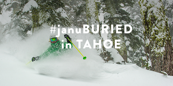
We received 16″ in 24 hours and it’s been snowing all day. The National Weather Service still has a winter storm warning in effect through January 23, 2017. Due to these extremely windy conditions, several lifts were put on wind hold or wind closure today
Check out NOAA Wind Sensors to see how wind speeds and wind gusts increased over the course of the day:
Alpine Meadows Operations for Thursday, January 19
- Roundhouse
- Hot Wheels
- Subway
- Kangaroo
- Meadow
- Scott
- Yellow
- Big Carpet
- Little Carpet
Winds were blowing on the ridges, so Summit, Lakeview and Sherwood were on wind hold today.
Squaw Valley
- Aerial Tram
- Funitel
- Exhibition
- Far East
- First Venture
- Red Dog
- Squaw Creek
- KT-22
- Broken Arrow Terrain
- Gold Coast
Winds were blowing on the ridges at Squaw Valley as well, so many lifts were on wind hold throughout the day.
Operations for Tomorrow
We’re expecting high winds tomorrow (in excess of 120mph), so we anticipate limited operations at Squaw Valley due to upper mountain lifts being exposed on the Sierra Crest. Best to stay tuned to the app and website for real-time resort information.
Alpine Meadows Scheduled Lifts for Friday, January 20
- Summit
- Hot Wheels
- Meadow
- Subway
- Roundhouse
- Yellow Chair
- Lakeview
- Scott
- Kangaroo
- Big Carpet
- Little Carpet
Squaw Valley Scheduled Lifts for Friday, January 20
- Exhibition
- Far East
- Squaw Creek
- Red Dog
- Olympic Lady
- KT-22
- First Venture
- SnoVentures Carpet
- Tucker Carpet
Please check our lift & trail status and app in the morning for real-time status and updates.
Our resident weather blogger BA updated this week’s #januBURIED forecast this morning at 7:05am:
Storm #2
- The next storm moves in during the early morning hours Friday. We could see a few inches before daybreak.
- Then heavier snowfall Friday and turning to snow showers Friday night. By Saturday morning we could see an additional 10-14 inches at the base from this storm, and 12-18 inches on the mountains.
- Saturday morning some lingering snow showers with a few more inches of snow possible. Then we may see another break Saturday afternoon and evening. Light snow showers may linger on the mountains.
- Winds should gust 50-60 mph up top with this storm, and then fall off to 30-40 mph for Saturday.
Storm #3 (the biggest)
- The final storm moves in after midnight Saturday night. By Sunday morning we could pick up 6-9 inches at the base and 7-12 inches on the mountains.
- Then the heaviest snow falls Sunday into Sunday night, before lighter snow showers linger into Monday and possibly Monday night. Total additional snowfall from this 2 day storm could be 26-32 inches at the base, and 29-38 inches on the mountains by Tuesday morning.
- Winds will be strong with this storm, gusting over 100 mph on the peaks Saturday night into Sunday, before starting to come down Sunday night into Monday.


