Skip to content
Palisades Tahoe Logo Palisades Tahoe Logo Palisades Tahoe Logo
Explore
Main Menu
  • Explore Palisades Tahoe
  • Base to Base Gondola
  • Our New Name
  • Explore Legendary Lifts
  • Palisades Tahoe Blog
  • About Lake Tahoe
Plan Your Visit
Main Menu
  • Tickets & Passes
  • Lodging
  • Lessons & Guides
  • Deals & Packages
  • Rentals & Demos
  • Travel Here
  • Getting Around
Mountain Information
Main Menu
  • Snow and Weather
  • Lift and Grooming Status
  • Webcams
  • Hours of Operation
  • Trail Maps
  • Parking & Road Conditions
  • Snowfall Tracker
Events & Activities
Main Menu
  • Events Calendar
  • Aerial Tram
  • Activities
  • Dining & Apres
  • Shopping
  • Groups, Meetings & Weddings
  • Ski & Snowboard Teams
Winter Lodging Exteriors of the Village at Palisades Tahoe
Book Winter Early

Ikon Pass holders save up to 25% when you book with The Village at Palisades Tahoe this winter.

SAVE ON LODGING
Icon / FlashCreated with Sketch.
View All Offers
  • Operations

Operations Update for Jan 7-9

  • Jan 7, 2017
  • 8:00 am
National Weather Service Forecast: Wet Weekend Ahead

UPDATED at 3:34am on January 7, 2017: “Snow with possible freezing rain today will transition to heavy rain and heavy mountain snow in most areas tonight, with extreme amounts of rain Sunday through early Monday. Significant flooding is expected for mainstem rivers, creeks, and streams Sunday into Monday. Another atmospheric river event is looking likely for the middle of next week with a couple of colder storms to follow the end of next week.” – NOAA Weather Discussion.

Resident Weather Blogger BA says…

“The next storm moves in Saturday in the early morning hours. It starts as snow to base level with snow falling through mid-morning. The snow levels rise to 7000 feet by midday and to 8000 feet by the end of the day.  We could see several inches of snow below 8000 feet Saturday before the change to rain.

Saturday night snow levels rise to 9000 feet, and max out around 9500 feet Sunday morning. We could see several inches of snow above 8000 feet overnight before the change to rain.  Sunday the snow levels should stay above the highest peaks with all rain and very heavy.

Then colder air works in and snow levels begin to fall Sunday night. The snow levels should fall back to 8000 by midnight Sunday night, and near the base by Monday morning. The snow could continue into Monday night as the main low moves inland. We could see significant snowfall after the snow levels fall, with totals of a foot or more at the base, and 1-3 feet on the mountain by Tuesday morning.” – BA

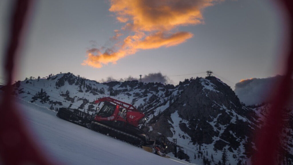
Limited Operations for Saturday – Monday

Alpine Meadows

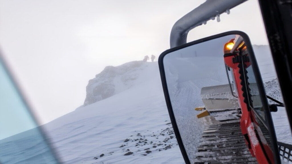
Summit, Sherwood, Lakeview, Roundhouse and Scott are starting out on wind hold and winds are not expected to die down. We’re anticipating limited operations tomorrow and Monday as well due to high winds and heavy precipitation. 
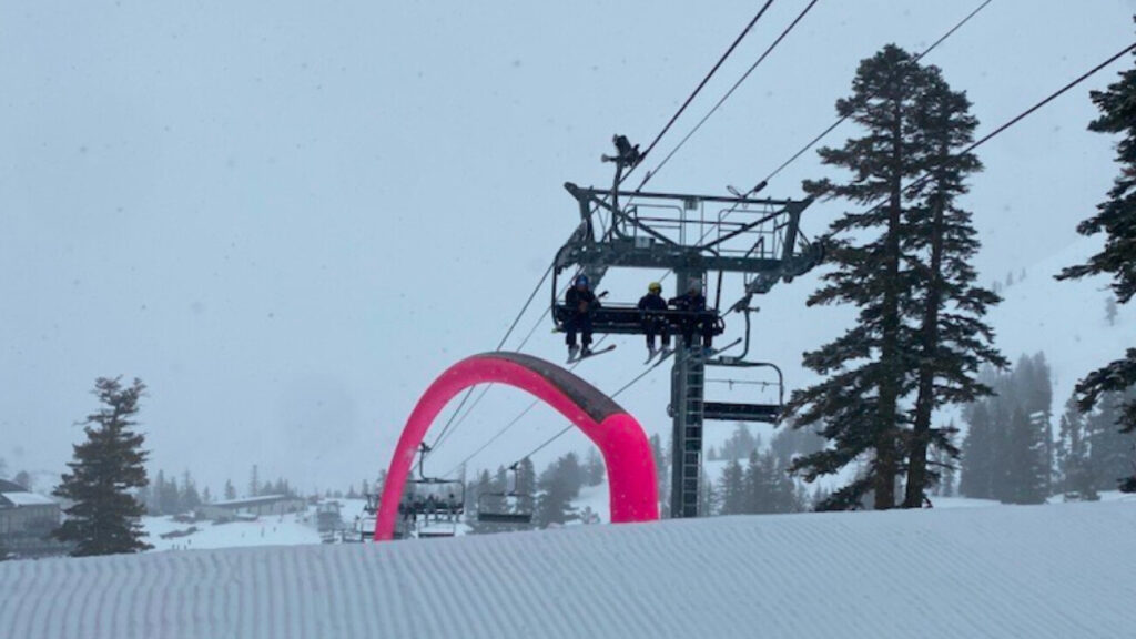
Squaw Valley

Same scenario at Squaw Valley this morning. Upper mountain lifts are closed due to wind. We expect wind holds on the upper mountain on Sunday and very limited operations due to variable conditions. 

“As far as winds, they will be strong and gusty across ridge lines, with gusts peaking over 100 mph. Lower down, winds are not anticipated to be as strong with gusts mainly in the 20 to 30 mph range at most. However, a few periodic stronger gusts are possible, especially on Sunday.” – NOAA Weather Discussion

We advise you to be prepared for wet weather and limited operations this weekend. It is best to stay tuned to the Squaw Alpine app for all real-time resort information. 

Snow Alert! MORE Snow in the Forecast for Tues/Wed: Up to 3 Feet

The good news is that we have an incoming storm following Sunday/Monday. Here’s what our weather blogger is predicting…

“No break as another significant storm moves in Tuesday into Wednesday. This one is colder and could bring 1-2 feet at the base, and 2-3 feet to the mountain by Wednesday night. Snow levels may rise to 6500-7000 feet briefly Tuesday night before falling back to lake level. Light snow showers possible Thursday. Then Friday into Saturday another storm is possible. This one could bring lesser amounts of snowfall, maybe around a foot.” – BA

admin
admin

Share this article:

Recent Posts

  • Operations ·
  • August 31, 2023·
Sunrise Snowmaking at Palisades

Operations Blog: Snowmaking 101

When the autumn chill moves into the Tahoe region, those thoughts of impending winter start to creep back in. For our snowmaking department, this is when the season starts. Our snowmakers take a lot of pride in being the ones to kick off winter. The heavy anticipation of what's to come is ingrained in the work that they do. Once they've started making a significant amount of snow, other departments like Grooming can start work, too, and before you know it, winter has begun.
Read more
  • Operations ·
  • June 29, 2023·
A drone shot of the snowpack at Alpine in June.

Operations Update: Closing Weekend Expectations

The closing celebration of the historic 2022-23 winter season is here! We'll be saying goodbye to winter with skiing, t-shirt giveaways, live music, and more at Alpine. We've also got some warm temperatures in the forecast and a new parking program for this event. Here's what to expect.
Read more
  • Operations ·
  • June 5, 2023·
A Funitel cabin in low visibility during a winter storm.

Operations Blog: Funitel Haul Rope Project Updates

This summer, we will be replacing the haul rope on the Funitel. The haul rope is the main cable you see carrying cabins to and from the upper mountain. This project has been scheduled for over two years: it is a major and necessary maintenance project that requires significant advance planning. Crews from the lift manufacturer will be coming from Europe to assist with this project as well. We'll be posting updates to this blog each time something exciting happens with this project.
Read more

Social

Instagram Twitter Facebook Youtube

Contact

   Email Us
   1.800.403.0206

Our Partners

U.S. Forest Service Logo
1960 Olympic Valley Road
Olympic Valley, CA 96146

©2022 Palisades Tahoe

Alterra Mountain Company
  • Privacy Policy
  • Terms of Service
  • Photo Upload Terms of Use
  • Accessibility
  • Do Not Sell My Personal Information
  • Privacy Policy
  • Terms of Service
  • Photo Upload Terms of Use
  • Accessibility
  • Do Not Sell My Personal Information