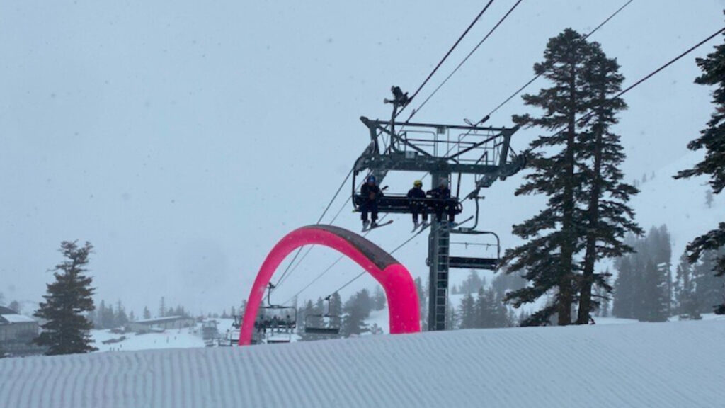
Today’s Mountain Preparation
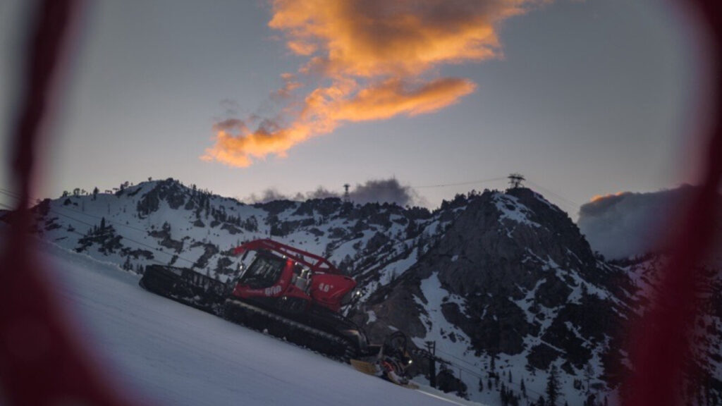
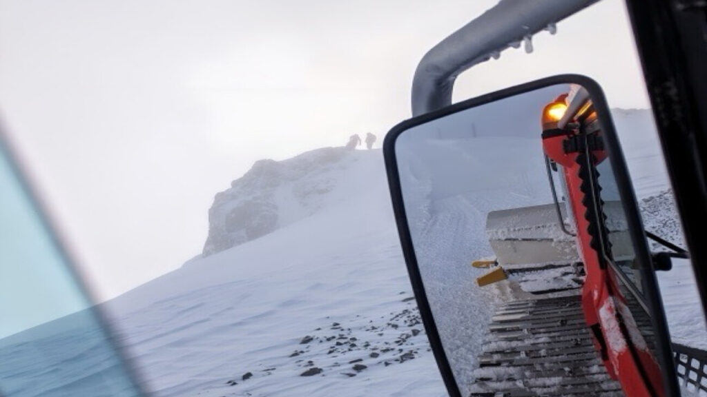
With extremely high winds, heavy precipitation and plummeting temperatures overnight, the lastest phase of the storm presented us with various challenges for our mountain facilities. Our crews at both mountains worked tirelessly to assess and repair lifts and facilities, de-ice chairlifts, groom ramps and terrain, and spin and check lifts. We would like to extend a huge thanks to our crews for their hard work in preparing for our re-opening tomorrow!
Operations for January 10, 2017
We are excited to announce that both mountains will re-open tomorrow for skiing, riding & activities!
Squaw Valley has the following lifts on tomorrow’s schedule:
- KT-22
- Exhibition
- Far East
- Red Dog
- Squaw Creek
- Murphy
- Wylee
- Firstventure Lift
- Tucker
Alpine Meadows has the following lifts on tomorrow’s schedule:
- Roundhouse
- Hot Wheels
- Meadow
- Subway
Please note that tomorrow’s forecasts calls for high winds that may increase throughout the day. It is likely that with changing conditions, lift operations may change throughout the day due to wind holds. Be sure to check our website and app for real-time status.
4-8 FEET OF SNOW THIS WEEK
Current Weather & Forecast
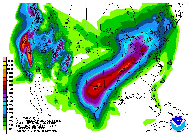
Rains transitioned to snow overnight last night and it has been snowing steadily at all elevations since early this morning. NOAA forecasts call for heavy snowfall and multiple FEET of new snow by Thursday.

“By Tuesday evening, the front pushes into the region, with heavier snow in the Sierra and precipitation spilling over into the valleys of northeast CA and western NV. By Wednesday, we could see up to 4 to 8 feet of snow in the high Sierra above 7000 feet, with 2 to 5 feet around the Lake Tahoe Basin.” – NOAA Weather Discussion

7-Day Precipitation totals are substantial. Image: NOAA Today
Updated by Resident Weather Blogger BA on January 9, 2017 at 6:40am…
Tonight a wave of heavier snow moves in. We could see an additional 7-14 inches of snow at the base, and 10-17 inches on the mountain. Snow continues Tuesday with an additional 3-6 inches possible at the base and 10-17 inches on the mountain.
The heaviest period of snow may come Tuesday night as another atmospheric river aims at Tahoe. Snow levels may jump just above the base late Tuesday afternoon into Tuesday evening before falling overnight. We could see 6-12 inches of snow at the base, and 1-2 feet on the mountain overnight Tuesday night.
Wednesday snow showers continue behind the cold front and may taper off later Wednesday night. Additional accumulations of 7-11 inches possible at the base, and 10-14 inches on the mountain. Storm totals possible of 2-3 feet at the base by Thursday, and 3-7 feet on the mountain from bottom to top.
BA

