Today’s Overview: February 19, 2017
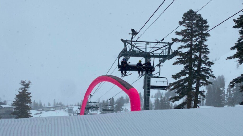
Today we made some fun turns on the slopes, but snow was variable in spots and visibility was low. High winds closed some of the upper mountain lifts at Squaw Valley including Granite Chief, Headwall, Emigrant, Silverado, and Broken Arrow.
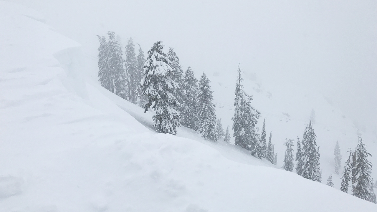
Here’s how the KT-22 zone looked this afternoon:


Weather Update from NOAA
The National Weather Service forecast has recently increased snowfall projections for tonight through Monday night at our upper elevations. We could see another 38-54 inches of snow during that period!

According to the NOAA weather discussion, this storm will bring very high winds and snow levels will fluctuate:
- “Heavy Rain: As we go into tonight and during the day Monday, snow levels are expected to rise to near 6500-7500 feet in the Sierra. Precipitation rates will be very intense, with high flooding potential for elevations below 7000 feet.”
- “Snow: Snow levels will rise tonight to near 7000-7500 around the Tahoe Basin….and remain at those levels through Monday evening. Snow levels could get pushed by 500-1000 feet lower during period of heavy precipitation. Elevations above 7000 feet will get very heavy snowfall, around 2-5 feet with the highest amounts along the Sierra crest west of Tahoe. An avalanche watch is in effect from the Sierra Avalanche Center. Finding a place to put all the excessive snow will be a major challenge for Sierra communities above 7000 feet.”
- “Strong Winds: In the Sierra, the passes and ridges will see extreme winds Monday through Tuesday with gusts over 150 mph possible. High winds and heavy snowfall in the high elevations will create whiteout conditions.”
NOAA has also issued an Avalanche Watch, a Flood Watch, a Lake Wind Advisory, and a Winter Storm Warning through Tuesday.
How this will affect operations for Monday, February 20
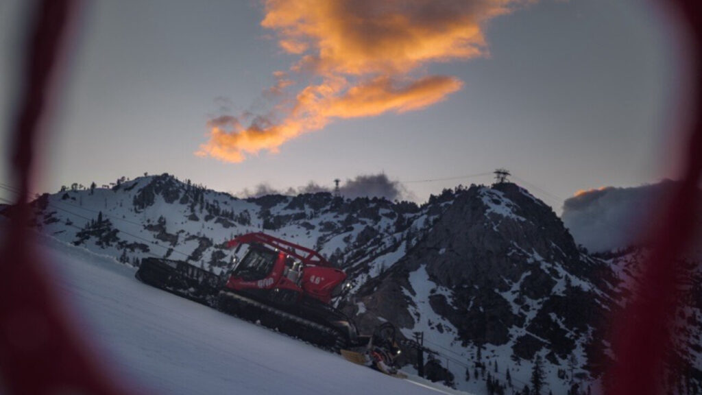
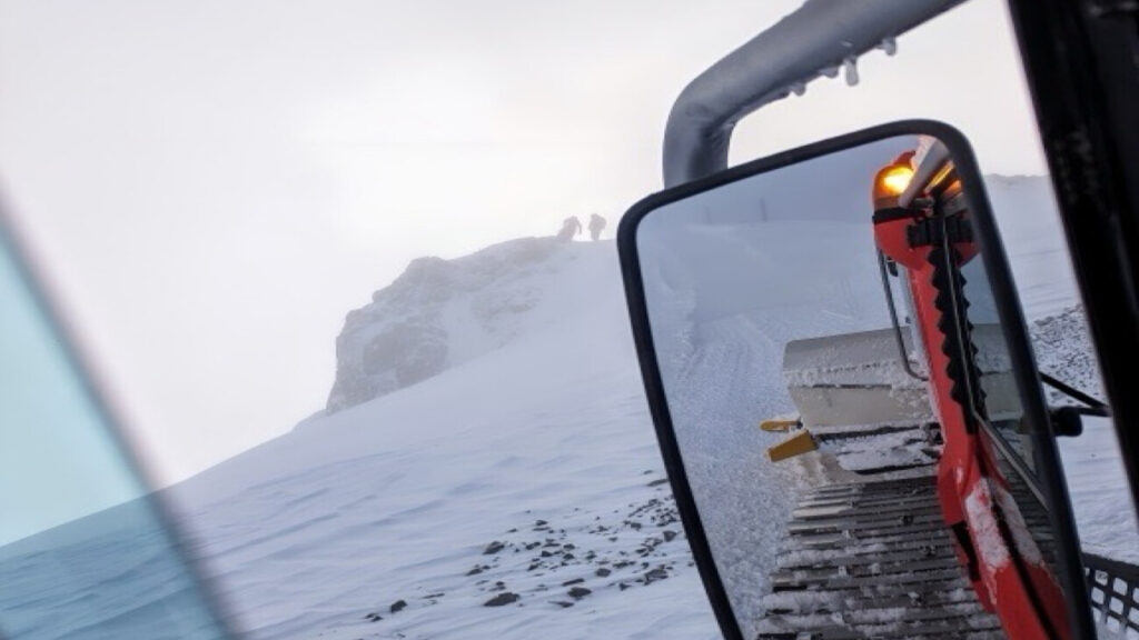
With high winds, flood possibilities, and copious amounts of snow at our higher elevations, we anticipate operations to be impacted tomorrow. All of the lifts at Squaw Valley and Alpine Meadows are scheduled, but it is very likely that the upper mountain lifts will be put on wind hold or wind closure at both mountains. It is also likely that the Alpine Meadows Road will temporarily close tomorrow while ski patrol performs avalanche control. Our on-mountain crews will assess conditions in the morning, and our dispatch team will update the lift & grooming status page and app as soon as they have news. We also encourage you to check our Mountain Operations Twitter for real-time updates.
CalTrans Road Conditions
The roads to and from Palisades Tahoe may be affected by the storms. Please check status and drive safely!

