There are storms you plan for. And then there are storms where you set contingency plans for the contingency plans.
According to the UC Berkeley Central Sierra Snow Lab, February 16–20, 2026 marked the most snow accumulation in a five-day period since 1982. Snowfall rates topped four inches per hour. Ridgetop winds exceeded 90 mph. Temperatures plunged into the single digits.
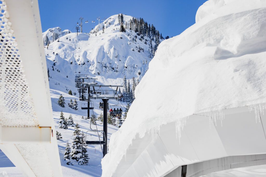
By the time it was over, the season-to-date snowfall totals had climbed to 278 inches, around 105% of average for this time of year.
Statistics tell part of the story. The rest unfolds in the spaces between.

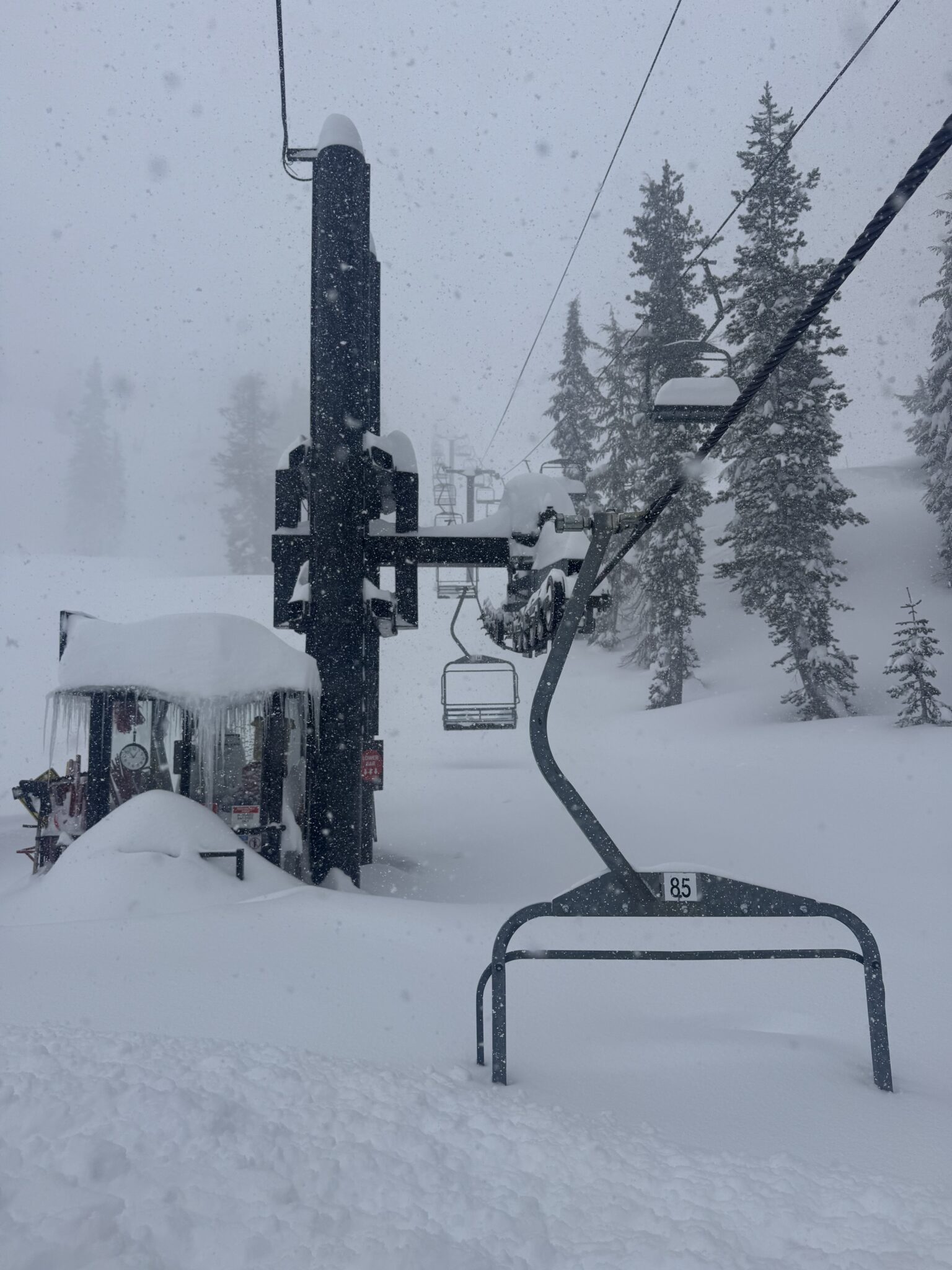
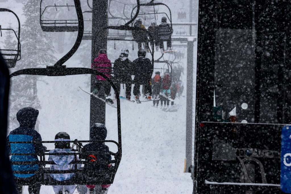
The cold temperatures and high rate of snowfall on top of a firm-packed base made for light density snow and elevated avalanche hazards. Conditions changed by the hour. Visibility collapsed.
This is a recap of the scenarios our teams faced and the actions they took.
The February super storm created an exceptionally complex operating environment that required constant monitoring, deliberate assessment, and disciplined communication across departments. Plans were built, evaluated, and reinforced with backup plans (and backups to those backups). Decisions were made, tested against new information, and reassessed minute by minute.
But what made this week remarkable was not just intensity. It was range.
The mountain had gone more than a month without meaningful snowfall. Operations teams were in preservation mode, maintaining coverage and monitoring a settled snowpack.
Then the script flipped.
Avalanche forecasters shifted from tracking gradual snowpack changes to analyzing rapid loading rates and wind transport across multiple start zones. Grooming teams moved from surface refinement to rebuilding access routes. Lift mechanics transitioned from infrastructure preservation to clearing terminals under extreme accumulation. Patrol teams shifted into full avalanche mitigation procedures while navigating travel restrictions.
The same eight peaks. A completely different set of operating variables.
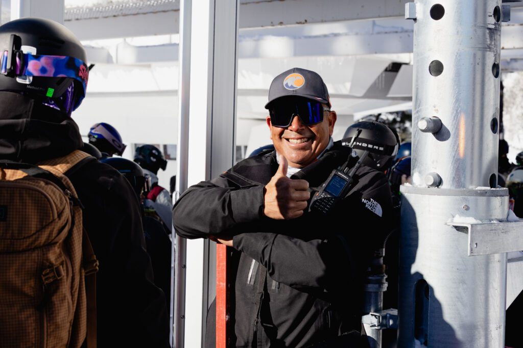
At every stage, our team moved at the Speed of Safety. Actions were intentional and team-driven, informed by experience, real-time communication, and an unwavering commitment to our guests and employees.
Moving at the Speed of Safety is not about going fast. It is about moving at the pace conditions allow. No slower than necessary, no faster than responsible. It is the discipline to pause when thresholds are crossed. The precision to act decisively when windows open. The awareness to reassess when new information changes the equation. The reinforcement to do what is right.
On certain mornings, that meant holding terrain. On others, it meant deploying at a deliberate moment to take advantage of short weather breaks. At all times, it meant communicating clearly across teams operating on different peaks under different conditions.
It was intense, and full of range. These are the things we do for love.
Monday, February 16:
- The storm began early in the morning, continuing to intensify through the day and into the night.
- Wind gusts came in at up to 40 mph.
- Snow levels fell to 2,500 feet.
Guests and employees had snow accumulation waiting for them to shovel by the time they got home. The storm was just settling in. Alarm clocks were set earlier and earlier for the remainder of the week.
Tuesday, February 17:
- Storm totals exceeded 2 feet of fresh snow, with significantly deeper accumulations in wind-loaded areas.
- Snow continued through Tuesday morning, with heavy rates persisting throughout the day.
- Ridgetop wind gusts exceeded 90 mph with extremely limited visibility.
- Snow levels fell to 900 feet.
- Overnight low temperatures fell to 9 degrees.
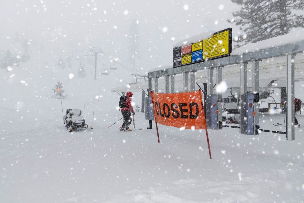
At the start of the day, there was no expectation of operating upper mountain lifts, and lower mountain lifts were impacted by wind. Temporary base area closures were implemented in the morning due to avalanche hazard. By mid-day, the decision was made to cease operations for the remainder of the day.
Wednesday, February 18:
- 17 inches of snow overnight brought the 24-hour total to 34 inches as of Wednesday morning, ranking this period in the top 10 for largest 24-hour snow totals we’ve ever seen.
- Storm totals exceeded 6 feet of fresh snow in 3 days.
- Overnight low of 14 degrees.
- Wind gusts between 30 and 35 mph.
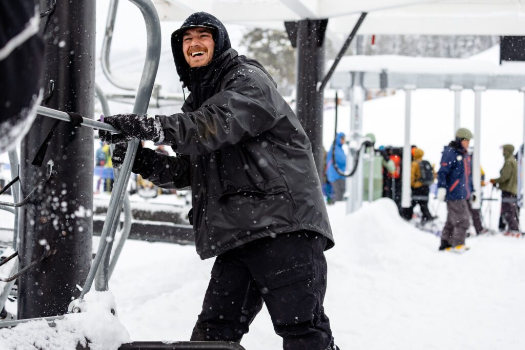
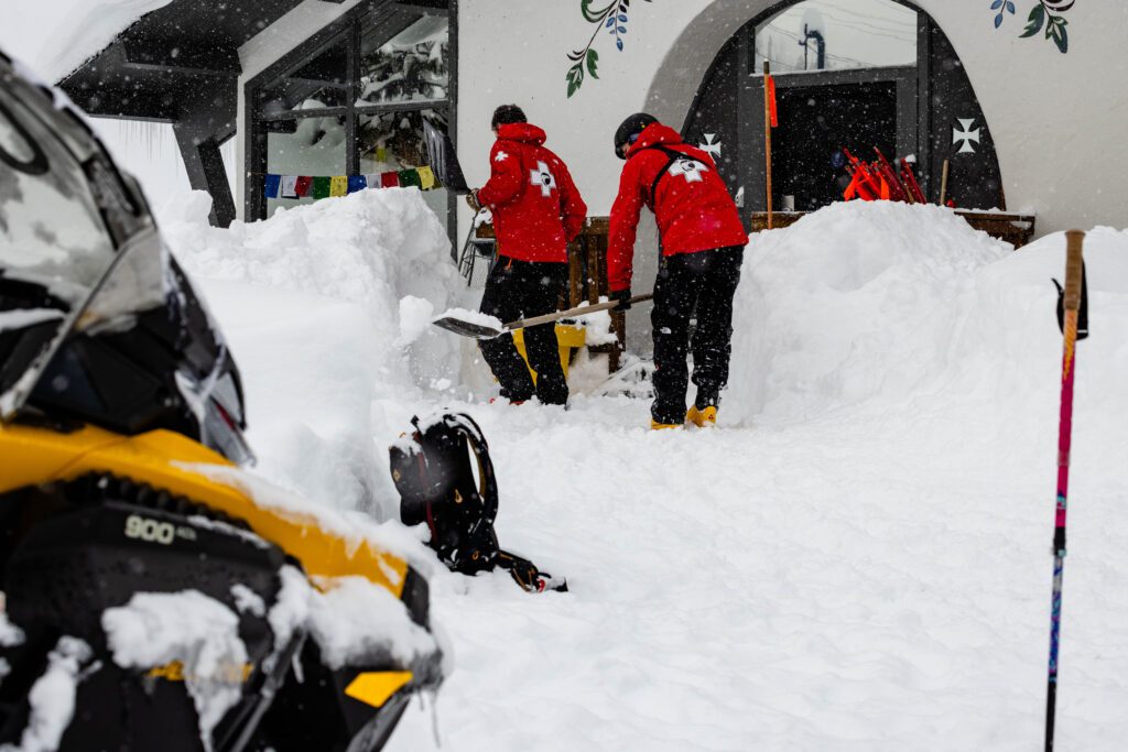
A team of Mountain Operations departments, including avalanche forecasters, grooming, and lift maintenance managers evaluated the conditions and identified windows in the storm where we were able to perform avalanche control work and maintain access roads, allowing lift maintenance to access lifts so they could stay somewhat ahead of the storm allowing for a smoother opening once weather conditions permitted.
For 24 hours, nearly the entire mountain was on travel restrictions. Our snowcat operators could not go out to establish and maintain our mountain access routes, further inhibited by the high volume of light density snow that made it difficult for the machines to climb even green, easy terrain. These routes are the main paths of travel between lifts, facilities, and maintenance shops. Patrol needs these routes, and access to these areas, in order to complete avalanche mitigation work.
Our preparation tactics included staging grooming equipment at the top of many lifts. However, when snow or ice builds up in a terminal, and you try to run the lift, it can cause chairs to stack up, creating mechanical issues and damage. Our teams worked together to allow a patroller or groomer to ride up the lift, then the lift would stop before the chair entered the top terminal. The rider unloaded, and could start working on clearing the upper terminal, while we ran that chair in reverse back down to the bottom terminal. Groomers could then access their machines and work from the top down once receiving clearance.
The operational plan included terrain off of Snow King, KT-22, and Roundhouse-down. Twelve scheduled lifts had opened as of 11am on Wednesday, a testament to the close collaboration and the highest degrees of professionalism and communication amongst departments.
Thursday, February 19:
- Another 15 inches of new snow brought the 24 hour total to 21 inches.
- The storm total now sits at over 8 feet of snow in 4 days.
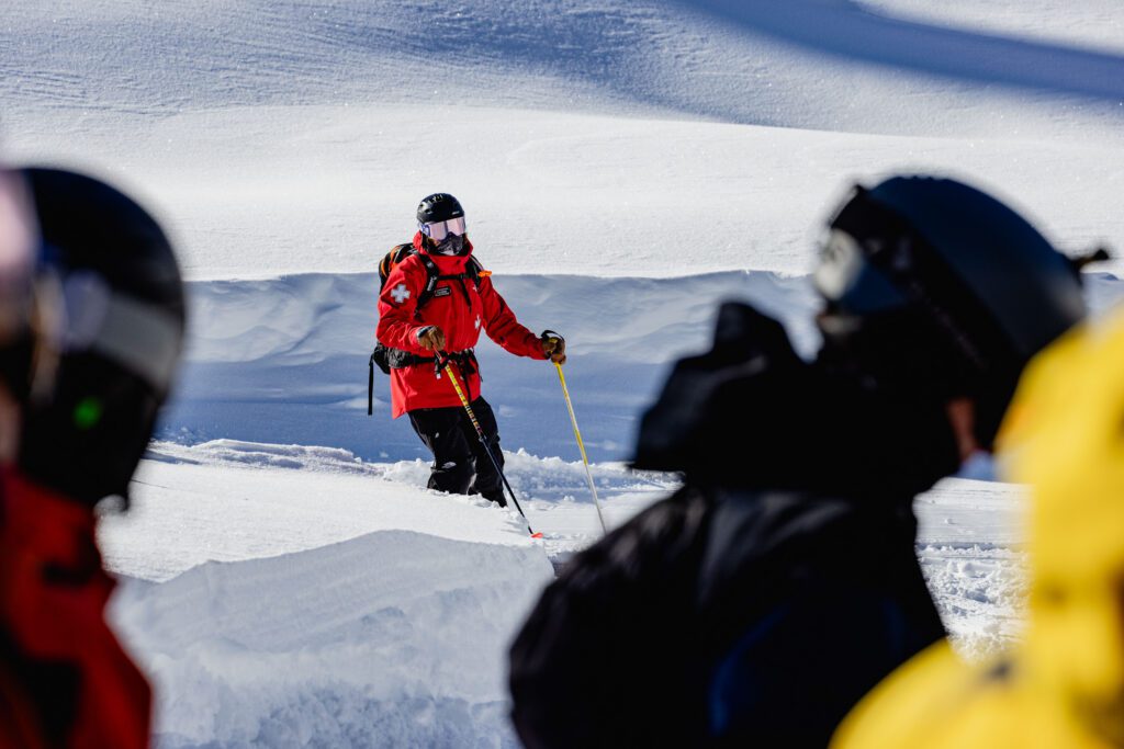
Patrol arrived as early as 4:00 a.m. to evaluate the snowpack, assess the weather conditions, and develop a plan for a potential lower-mountain opening.
While avalanche hazard remained elevated, Patrol was confident in the mitigation work completed and believed terrain could potentially open from a snow safety standpoint. The greater concern was access.
The depth of new snow and limited established travel routes through low-angle terrain created significant challenges for movement across the mountain. The primary risk was the ability to conduct a rescue and efficiently move personnel and equipment to an incident location. Deep snow conditions also increased the likelihood of guests or employees becoming stuck in flatter terrain. These access limitations became the determining factor.
At Alpine, terrain funnels naturally downhill from Roundhouse, limiting how far guests can travel from groomed runs. Under this operating scenario, the mountain effectively skis like a cone, with guests dispersing from a centralized point. Alpine also had groomed runs off every operating lift, improving travel routes, guest containment, and response access.
At Palisades, the team evaluated reducing the operational footprint. The plan initially considered operating KT-22 only, without Snow King, to limit terrain exposure. Further discussion included narrowing operations to the West Face area. However, continuous feedback from Patrol teams in the field highlighted the difficulty of moving through the snowpack and the lack of reliable travel corridors. Patrol’s collective recommendation was to keep KT-22 and Snow King terrain closed due to access constraints. These factors made any operations untenable, and the Palisades Mountain Operations Team made the call to close everything other than the SnoVentures area for that day.
Friday, February 20:
- A final 18 inches of snow fell in the 24 hour period leading into Friday.
- This brought the final storm total to 115 inches, or 9.5 feet, of snow in just 5 days.
After an extraordinary storm cycle that carried through the week, reshaped the landscape, and significantly impacted operations, Friday represented the first meaningful break in weather.
Teams remained in full recovery and re-establishment mode following the scale and intensity of the storm. Terrain expansion occurred gradually and only as conditions allowed. Much of the upper mountain remained difficult to access, as travel restrictions throughout the week had limited where Patrol, Grooming, Lift Operations, and Maintenance teams could move.
As a result, terrain expansion took time. Crews continued avalanche mitigation work, rebuilding access routes and establishing safe travel corridors as conditions permitted.
Delayed or phased openings were expected, and 17 lifts were operating by mid-day. Crews resumed work on Sherwood at Alpine and on the upper mountain at Palisades. Without estimated opening times, teams continued working at the Speed of Safety and ultimately opened Sherwood Express, along with Mountain Run and Tower 16 via the Funitel by the afternoon.
The Rain that Followed…
While not ideal, the 9.5 feet of snow was followed by warm temperatures and unfortunately, an atmospheric river. On the bright side, the earlier snow was light and subject to wind drift but the rain actually helped anchor it. The rain also served as nature’s hydration boost by saturating the snowpack and increasing water content which will preserve the base. This stronger base will melt more slowly, preserve the snow quality later into the season, and more slowly release snowmelt runoff into summer, which is good for the local ecosystem.
Palisades Assistant Patrol Director Adam Werth had this to say about the recent rain:
The massive snow load from the storm was already incredible, and this rain is helping “lock it in” by adding density and reducing early melt risk in shallower spots. It contributes to a healthier overall snowpack that supports reliable coverage well into spring—think fewer bare patches and more consistent terrain access. Rain can wash away surface hoar or light fluff that’s prone to wind transport, leading to more stable, settled snow underneath. Once things cool off again, it often sets up firmer, more predictable surfaces that hold up better under traffic—perfect for carving and all-mountain adventures.
When you get this amount of rain and increase in water content of the snow and once the overnight temperatures go back down below freezing with daytime temperatures above freezing, the sun will start to create corn snow and that is the start of our legendary spring skiing.
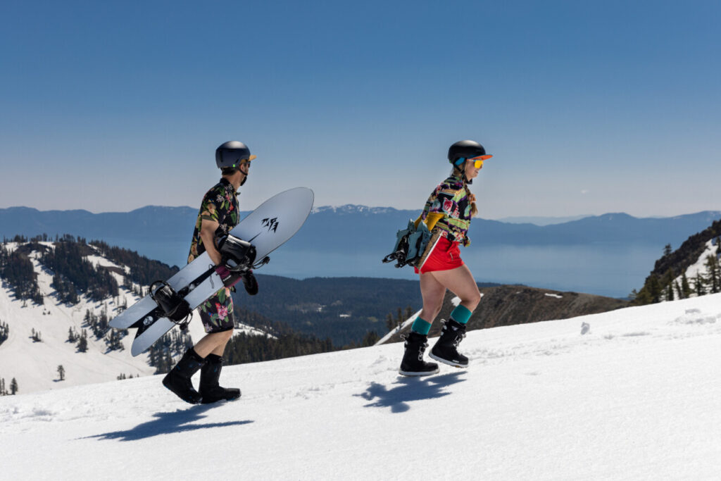
The Season is Far From Over!
We anticipate operating through Memorial Day, Monday, May 25, supported by a deep and durable base built over the course of this historic storm cycle. The combination of significant snowfall and subsequent consolidation has positioned the mountain well for a long and dynamic spring season.
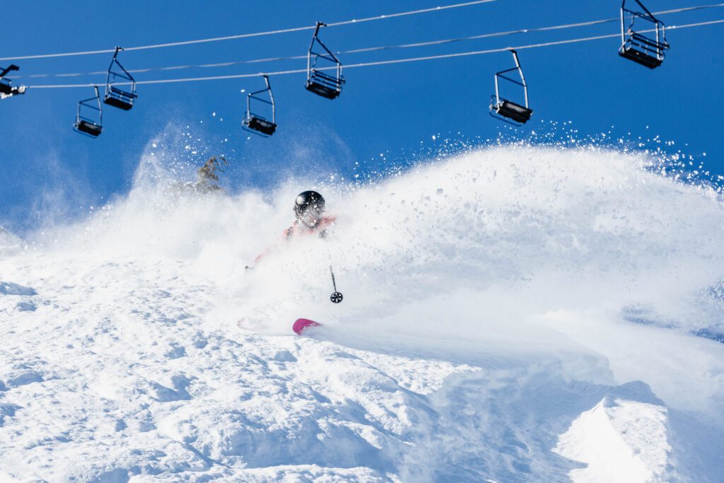
As temperatures moderate and the freeze-thaw cycle takes hold, conditions will continue to evolve into the classic spring surfaces Tahoe is known for. Firm mornings give way to soft, edgeable corn snow, creating long, forgiving turns and consistent coverage across a wide variety of terrain.
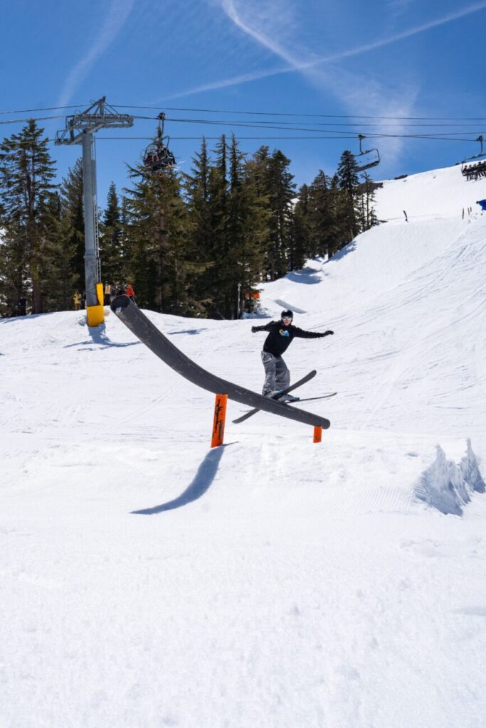
Spring at Palisades Tahoe is defined not only by snow quality, but by atmosphere. Signature events return to the calendar. Après stretches longer into the afternoon. Costumes reappear. Music carries across sunlit decks.
This is the season where resilience meets reward. A winter defined by intensity transitions into a spring defined by celebration, community, and some of the most enjoyable conditions of the year.
That is why Palisades Tahoe continues to earn its reputation as the Spring Skiing Capital.