PLEASE NOTE: The Shirley Canyon trail is not a beginner hike. Please use caution if you decide to visit this trail. For those planning to take the Tram down, be sure to check the Tram operating schedule prior to hiking up.
One of Lake Tahoe’s best half-day hikes, the Shirley Canyon trail takes you from flowing waterfalls and the high alpine Shirley Lake to huge granite boulders and blooming wildflowers with endless natural beauty for you to enjoy.
This hike is 3 miles to Shirley Lake and another 2 miles to High Camp with a total elevation gain of 2,000 feet, so it is a challenging trail. Allow at least 3 hours to do this hike round trip. This is a dog-friendly trail.
Getting Started
To access the trailhead, park in the main Palisades Tahoe parking lot and walk to the end of Shirley Canyon Road. There are a large sign and trail map at the trailhead.

What to Bring
- The trail alternates between shady and sun-exposed sections, so make sure to bring sunscreen, sunglasses, and a brimmed hat
- There are steep and rocky sections along the trail, so sturdy hiking boots with good traction are strongly recommended
- Stay hydrated and bring plenty of water (humans should never drink directly from the stream)
- Snacks are always a good idea! Plus, there are many great spots along the trail to pull off and enjoy a picnic lunch
- Bring your smartphone so you can follow along the trail and track your hike with our summer mobile app.
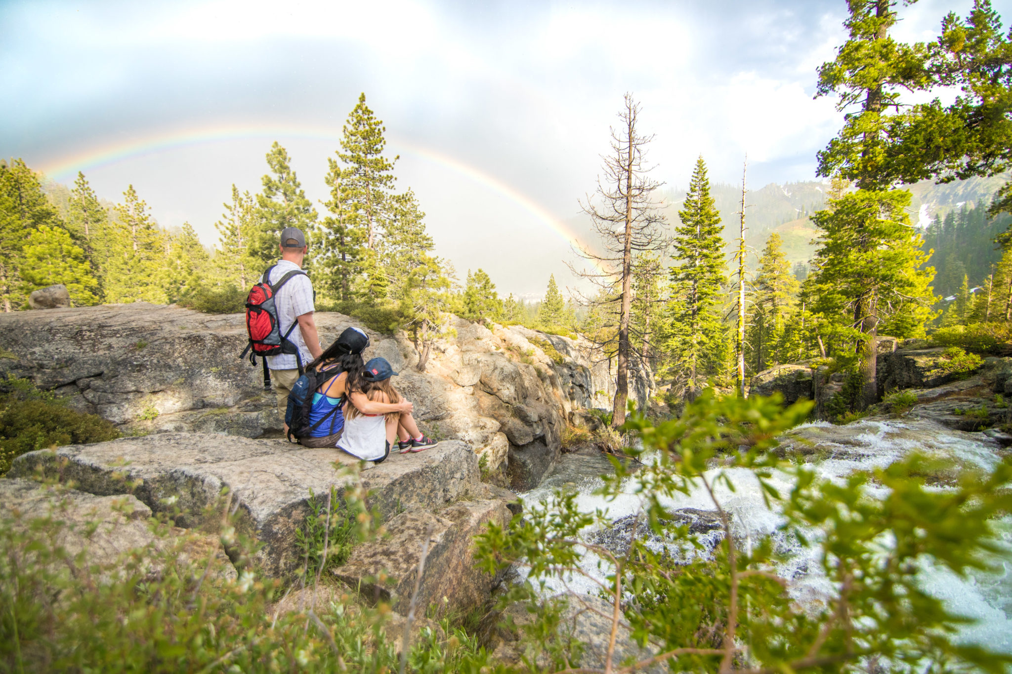
The Waterfalls
As the last patches of winter’s snow continue to melt, the Shirley Canyon waterfalls will still be raging! Follow the path and keep the flowing creek on your right as you pass the stunning waterfalls.

There are three main waterfalls to stop and take in along the trail, as well as plenty of flowing water, lush greenery, and blooming wildflowers.

This trail can be difficult to follow, so remember the general rule is to keep the creek on your right and follow it up for about 2.5 miles until you come to giant granite rock slabs.

Also, pay attention to and read any yellow or orange poles you come across. They will point you ahead to follow the trail.
If you are confused at any point, check the Palisades Tahoe app for our interactive hiking maps. You can see where you are along the trail, how much more you have to go, and also track your day!
Granite Slab
After passing the last of the 3 major waterfalls, continue along the trail until you reach a large granite slab, approximately 2.5 miles up from the base of the hike. Be prepared to take tall steps on rocks, and possibly use your hands to help hoist yourself up.

The section of the trail is steep and somewhat strenuous as you head towards Shirley Lake. It is also the sunniest and most exposed section of the hike, but there are few trees along the side to take a break in the shade.

Penstemon (above) is found on rocky slopes, ledges, and ridges at higher elevations along the trail.
You will see a wide array of wildflowers along the way: Mule’s Ears, Lupine, Paintbrush, Mariposa Lillies, Penstemon, and more!
Shirley Lake
You’ve made it to Shirley Lake! Cool off from your hike by taking a dip (water can be cold) or find a shady spot to sit down and enjoy the view.

Dogs love Shirley Lake too! It’s the perfect spot along the trail for your furry friend to rehydrate and cool down.

After you’ve gotten your fill of lakeside relaxation, continue on to High Camp. Head back to the trail where you entered the lake area, and head uphill. There will be a fork in the trail to either take the Solitude Trail or continue on the Shirley Canyon Trail, which passes under Shirley Canyon Express. Both options are approximately the same distance (2 miles) and will lead you to High Camp.
High Camp

When you make it to High Camp you will be rewarded with more wildflowers and stunning views of the Sierra and Lake Tahoe. Hungry for a lunch break? Check out dining options at High Camp to refuel. Either hike back the way you came or simply, download the Aerial Tram for free!
Other Hiking Tips
- In case of emergency, dial “0” from phones at the base or top of any lift, or (530) 584-6204 from your mobile phone.
- During thunderstorms, stay away from ridge tops, tall trees, lift towers, and large rock outcroppings as they can attract lightning strikes
- Stay off chairlifts! During maintenance, lifts may start without warning
- No smoking. Fire danger in the area is high during the summer months
- Be aware as company vehicles travel on the Summer Road nearby.