

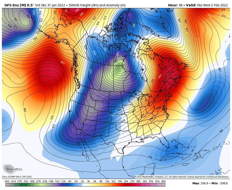
Colder Pattern:
A cold trough digs into the West through Thursday. The precipitation with the cold front stays to our east but it will become colder & windy with mostly sunny skies.
Monday we have west winds gusting 30-40+ mph up top. Highs into the 40s at the base and 30s up top. Highs drop into the 30s at the base and 20s up top Tuesday into Wednesday. Then we start to slowly warm Thursday but highs may remain in the 30s.
Ridgetop winds increase from the north/northeast Tuesday gusting up to 40+ mph by afternoon. Then to 90+ mph Wednesday morning possibly closing some upper mountain lifts & making it feel even colder! Then coming down later Wednesday into Thursday with gusts only up to 40+ mph Thursday.
The Weekend:
Friday into the weekend high pressure rebuilds over the West Coast. That will bring back highs into the 40s at the base & 30s up top and lighter winds. The dry pattern and sunny skies continue.
Long-Range:
High pressure is forecast to stay near the West coast into the 2nd week of February. That should also keep us in a dry pattern for the next 2 weeks.
There are some signs that high pressure could start to shift away from the West Coast starting around the 12th. That may just allow in some colder air and maybe a weak system, but keeps us mainly dry through mid-month. We’re hoping the pattern shifts more later in the 3rd week of February into the last week allowing storms to return.
We’ll let you know at the first sign of any storms headed our way!
BA
