

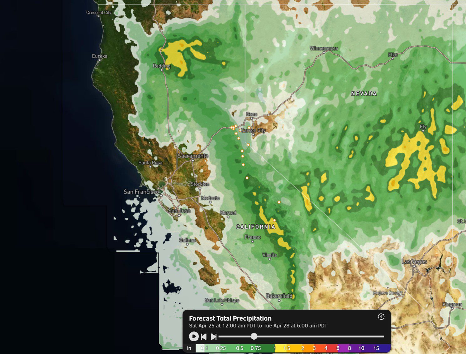
Saturday Weather:
We will start the day with clouds and sun. Highs into the 40s for the lower elevations and 30s for the higher elevations. The latest model runs show afternoon showers hitting mainly to the south of the mountain, but we could see some scattered showers with snow levels around 7000-7500 ft. Maybe a coating of snow for the upper mountain.
Sunday Showers:
There is a better chance of showers on Sunday, especially during the afternoon. It will be colder with highs into the 30s and snow levels dropping to near the base during showers. We could see a coating of snow on the lower mountain and 1-3 inches up top through Sunday evening.
Monday:
We could see another round of scattered afternoon showers on Monday. Sun and clouds outside of that. Highs into the 30s for the higher elevations and 40s for the lower elevations.
Drier & Milder:
High pressure begins to build over the region on Tuesday and strengthens a bit into the first weekend in May. That will bring a drier pattern with warming temperatures. Highs into the 50s for the lower elevations and 40s for the higher elevations on Tuesday. Then we could see 60s near the base and 50s on the mountain later in the week.
Long-Range Outlook:
The long-range models show potential troughing returning over the West Coast during the week of the 4th. That could bring slightly cooler temperatures and a chance for afternoon showers to return.
As of right now, Sunday is the last day the models are showing a chance for measurable snowfall on the mountain. There is enough snow on the upper mountain to stay open into the 1st week of May. We’ll have to see how the snow holds up going beyond that.
BA
