

Snowfall Report:
The first day of the storm on Tuesday delivered pretty much as expected. Snow levels did dip close to the base Tuesday night, leaving a coating of wet snow. On the mountain, an inch near the bottom up to 12 inches of top fell in the past 24 hours as of 5 AM Wednesday morning.
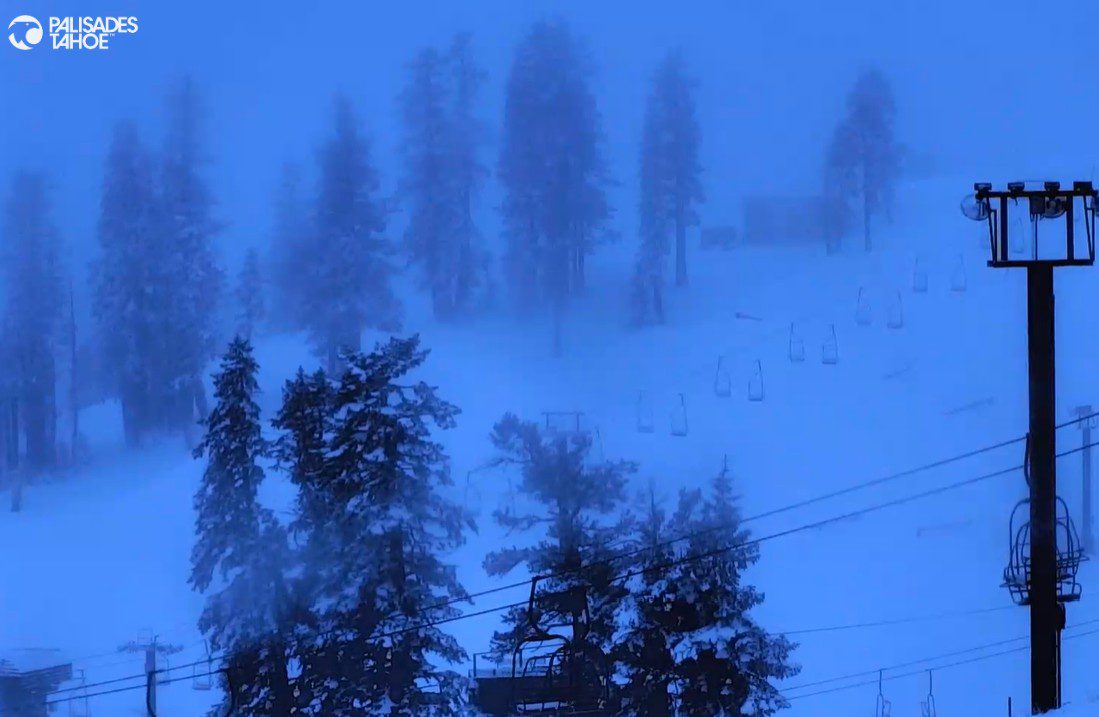
Wednesday Storm:
We still have moisture streaming into the Sierra from the first system on Wednesday morning, with snow levels around 6500-7000 ft. as of 7 AM. The showers have become lighter and more scattered. We will see some slightly warmer air during the day ahead of the colder system spinning towards the coast, which will move through Wednesday night.
We will see the precipitation increase later in the day on Wednesday as the next storm pushes inland and the cold front approaches, and then a period of steady snow moving through Wednesday night with the front. The snow showers behind the front should taper off by morning.
Winds ahead of the approaching storm are cranking up on Wednesday. Ridgetop gusts are already up to 60+ mph on Wednesday morning, and will increase to 70-80+ mph by afternoon. That should close some upper mountain lifts. Highs in the 30s.
The snow levels will rise slightly during the day on Wednesday, up to around 7000 – 7500 ft. Then they fall Wednesday night with the cold front, down to the base by 10 PM, and down to 5000 ft. by the end Thursday morning.
By Thursday morning, we could see an additional 2-4 inches of snow at the base, 5-10 inches near mid-mountain, and 8-13 inches up top. If we can hit the high end of the forecast, that would give us a storm total of 2 feet of new snow up top.
Thursday – Friday Weather:
Mostly sunny skies return on Thursday and Friday, but it is still cool behind the cold front. Highs into the 40s for the lowest elevations on Thursday and 30s on the mountain. Highs into the 40s on Friday, to nearly 50 degrees for the lowest elevations.
The Weekend:
High pressure builds in over the weekend bringing warmer temperatures and sunny skies. Highs into the 50’s with 60s for the lowest valleys away from the lake, and 40s above 8000 ft. That weather is expected to continue into Monday.
Long-Range Outlook:
Going through the 2nd week of April into mid-month, the long-range models continue to show the highest heights off the Pacific NW coast. In that pattern, we should see temperatures cool slightly with more seasonal highs in the 50s for the lower elevations and 40s for the higher elevations.
It would also leave the door open to weak systems or enough moisture at times for afternoon showers to pop up. The long-range models have been hinting at a weak system that could bring some April showers around the 7th – 8th.
We’ll keep an eye on that, but overall, it looks like we could be done with significant snowfall for a while or for the season…
Stay tuned…BA
