

We have rain and snow showers falling on Tuesday morning with temperatures in the 30s. Snow levels are around 7500 – 8000 ft. Only small amounts of wet snow have fallen so far above 8000 ft.
Tuesday – Wednesday Night Snow:
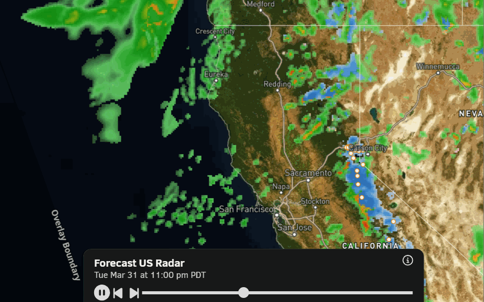
The latest model runs show rain and snow showers continuing through Wednesday night, as moisture continues to stream into the northern Sierra, with an increase later Wednesday, and a final round of steady snow Wednesday night with the cold front.
The trend on the latest model runs is for the precipitation to end by sunrise Thursday morning. The other trend in the past 24 hours has continued to be increasing the total precipitation amounts over the next 48 hours. That means upper mountain snowfall forecasts have also increased a bit.
The problem will be the freezing levels sitting between 7500-8000 ft. through Wednesday, with temperatures above freezing below that, and near 40 degrees at the base. Snow levels will fluctuate with precipitation intensity between mostly 6500 – 8000 ft., with the lowest snow levels possibly early Wednesday morning. Mostly all rain for the base.
That means any snow falling below 7500 ft. will be wet and heavy, with low snow ratios. The upper mountain above 8000 ft. will see higher snow ratios and should see mainly all snow. Snow levels drop below the base near the end with the cold front on Wednesday night, which is when we could see up to a few inches of snow.
Snowfall totals by Thursday morning could be around 1-4 inches at the base, 11-16 inches near mid-mountain, and 15-21 inches up top. There is going to be a stark difference between the snowfall near the base and at the top of the mountain by Thursday morning.
Ridgetop winds will be gusting up to 50-60+ mph on Tuesday and increasing up to 70-80+ mph by the end of the day on Wednesday. They are still strong early Thursday morning, but are falling into the day on Thursday. Highs in the 30s to near 40 degrees at the base on Wednesday.
Thursday – Friday Weather:
Clearing on Thursday with partly sunny skies and cold. Highs in the 30s on the mountain to near 40 degrees at the base. Mostly sunny for Friday with highs into the 40s near the base, with 30s above 8000 ft.
The Weekend:
High pressure builds in over the region into the weekend. That will bring mostly sunny skies with highs into the 50s for the lower mountain and near 60 degrees at the base, with 40s above 8000 ft.
Long-Range Outlook:
Going into the week of the 6th and through mid-April, the long-range models continue to show high pressure over the region with the highest heights just off the Pacific NW coast.
That pattern should keep temperatures fairly seasonal with highs in the 50s to near 60 degrees near the base, and 40s for the upper mountain. It would also be a fairly dry pattern with well below average precipitation forecasted.
There are chances for systems to get close enough for daytime heating to cause afternoon showers over the mountains, and maybe a weak system to sneak in. We’ll keep an eye on that, but the current storm could be the last significant snowfall of the season.
BA
