

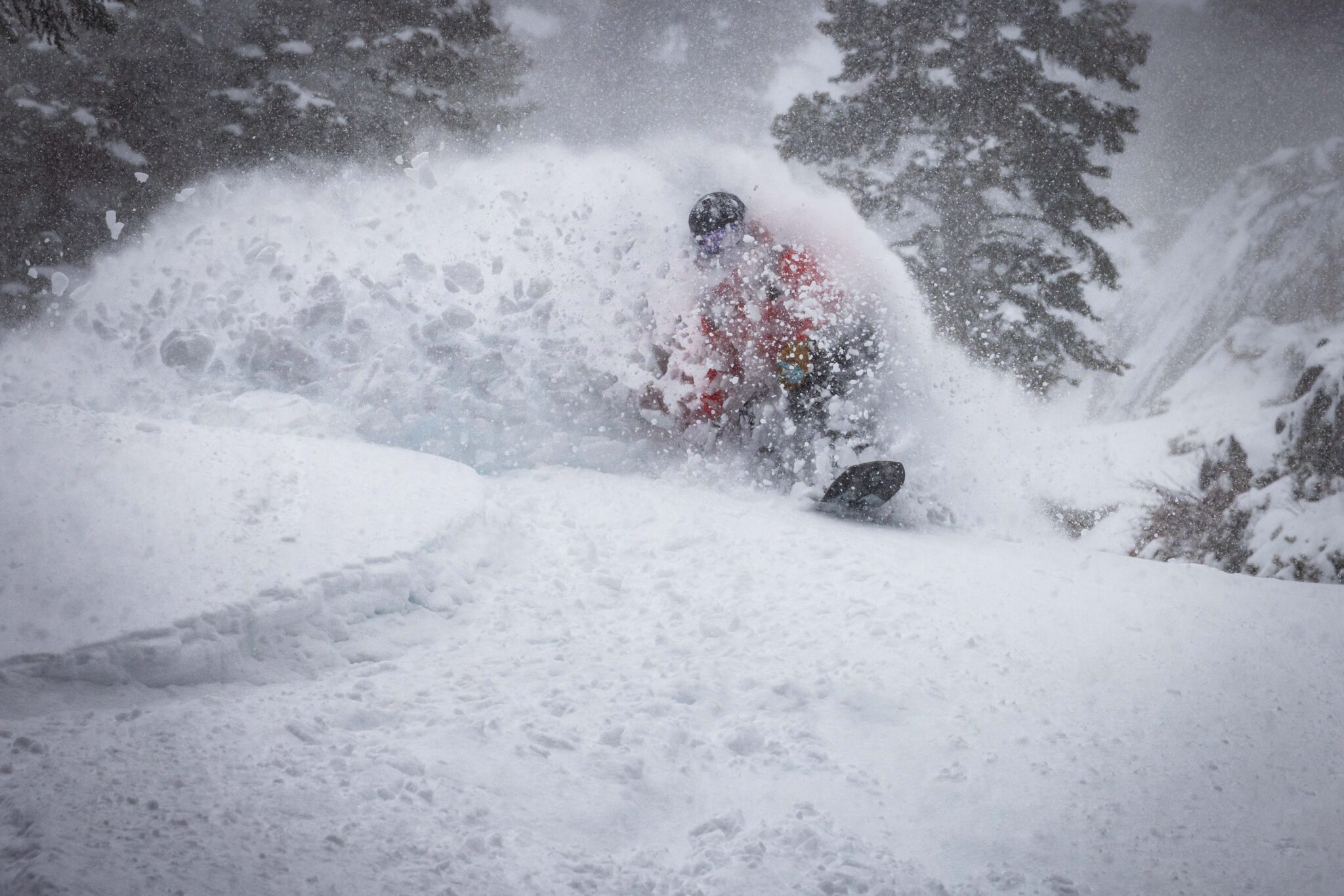
Snowfall Report:
43 inches of additional snowfall fell near the base on Tuesday and Tuesday night, with 44 inches on the mountain! That brings the storm total to 5 feet so far at the base and over 6 feet up top! That has skyrocketed us back up to around 92% of average snowfall for the date, with 239 inches so far this season, and more snow on the way!
Wednesday – Thursday Snow:
We are starting off the day on Wednesday with a lull in the action, with some scattered snow showers. Temperatures are only in the teens and single digits with dry powder on the slopes.
Clouds and snow showers are expected to increase on Wednesday afternoon into Wednesday night. Highs in the 20s for the lower elevations and teens for the higher elevations on Wednesday and Thursday. Ridgetop winds are only gusting up to 30-40+ mph on Wednesday morning, but could increase to 40-50+ by afternoon and 50-60+ on Thursday.
Thursday, the final system pushes in some steadier snow, then diminishing by evening and clearing out Thursday night. The snow ratios could average around 20:1 through Thursday, continuing to pile up fluffy powder. By Friday morning, we could see an additional 14-20 inches near the base, 17-23 inches near mid-mountain, and 19-25 inches up top!
With 5-6+ feet so far and another 1-2 feet on the way, we should see final storm totals of 6-8+ feet for this 4-day storm series!
Friday – Saturday Weather:
Partly – mostly sunny skies for Friday and Saturday. Highs warming into the 30s for the lower elevations near the base and 20s up on the mountains. Lighter winds as well. It should be a nice 2 days of skiing and for digging out.
Sunday – Monday:
The next trough and storm dig south off the coast over the weekend, with southerly flow and precipitation staying to our West until Sunday, and then the precipitation may have a hard time pushing over the crest Sunday into Monday with the southerly flow. Highs will be in the 30s.
Ridgetop winds increase by Saturday night into Sunday with gusts up to 60-70+ mph Sunday and 70-80+ mph on Monday. That should close some upper mountain ski lifts. The snow levels rise up to around 7000 ft. by Sunday afternoon, with any precipitation falling likely being rain near the base and a wetter snow for the upper mountain.
We are going to have to continue to watch the trends on the timing of the precipitation pushing in and how far east it can push until the flow turns more southwesterly Monday night. We could see some snow Sunday into Monday with several inches possible both days. I’ll provide more details on that and snow levels over the next few days.
Storms Continue:
As the trough digs south off the coast, that is going to allow the storms to tap into some subtropical moisture to the SW. That is why we are expecting the snow levels to rise up to around 7000-7500 ft., possibly through at least Monday night and maybe into Tuesday before slowly falling into Tuesday, but maybe just barely reaching the base.
The latest model runs are still showing up to 3-5 inches of total precipitation possible over the 4 days near the crest, and up to a few inches over the basin. The OpenSnow PEAKS model is showing around 4.7 inches on top of the 1.3 inches this week, for a total of 6″ possible in total over the next 7-8 days.
That would be enough for 3-4 feet of thicker snow for the upper mountain over the 4-day period. The rain at the base could be a slushy mess with the 6 feet of fresh snow that will be on the ground by Friday from this week’s storms. I’ll continue to fine-tune the forecast for Sunday – Wednesday as we get closer to the storms arriving.
Long-Range Outlook:
Beyond the 26th, the long-range models are starting to come into agreement with what the European AI Ensemble model has been showing, which is the trough lifting north and high pressure building in over CA into the 1st week of March.
That would bring us a drier pattern. The operational models have trended away from showing any storms of significance through at least the 5th of March. Some show us getting brushed with a few showers from a storm or two. But the trend is currently towards a drier pattern after next week’s storms.
We’ll continue to watch the trends to see if we can get another good storm series during the month of March.
BA
