

Sunday Weather:
Partly sunny for Sunday with more sun in the morning and increasing clouds through the end of the day. Highs in the 30s.
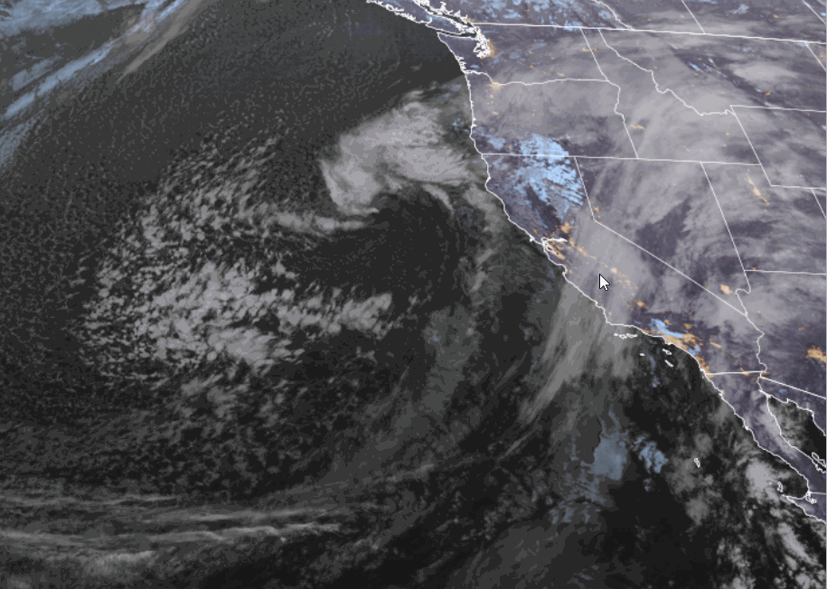
Sunday night, the leading edge of the precipitation moves slowly east into the Sierra. The steadier snow could reach the mountain between 8 PM – 10 PM. Only expecting around 1-3 inches on the mountain by 5 AM.
Monday – Thursday Storms:
Monday’s storm will be a bit warmer than the subsequent storms, and the winds aren’t forecast to be overly strong, even though we will likely have gusty ridgetop winds. Heavier snow moves in during the day. Highs in the 30s for the lower elevations and 20s for the upper mountain.
Heavy snow continues on Tuesday with a much colder storm moving in. Snow showers could linger into Wednesday, and a final smaller system is expected Wednesday night into Thursday.
The southerly winds on Monday turn more westerly on Tuesday with ridgetop gusts up to 90+ mph. Tuesday will have blizzard conditions and very low wind chills with highs only in the 20s for the lower elevations and teens for the higher elevations. Those temps continue into Thursday, but the winds come down on Wednesday into Thursday.
The OpenSnow PEAKS model continues to show around 5″ of total precipitation. Typically, that would be 50-60 inches of snow with our average snow ratios in Tahoe of around 10-12:1, but these storms are bringing in very cold air with overnight lows in the teens and single digits up high, and snow levels down to 1000 ft. or close to sea level Tue, Wed, & Thu nights.
That cold air increases enhanced precipitation rates as the cold air is lifted over the mountains, and it increases snow ratios up to 15-20:1 or better on the mountains. Bringing us much higher snowfall amounts with the same amount of liquid falling. The strong winds on Tuesday could bring slightly lower snow ratios as the strong winds crash flakes together and break them into particles that don’t fluff up as much as they accumulate.
It’s always scary forecasting big snowfall amounts, as you could be very wrong if the storm doesn’t drop as much precipitation, especially when you’re multiplying by high snow ratios. But it’s put up time, so here is my final forecast for the 4-day storm series. By Friday morning, we could see totals of around 4-5 feet at the base, 5-6 feet near mid-mountain, and 6-7 feet up top!
Most of this falls by Wednesday morning, with the final 6-18 inches expected with the Wed – Thu systems. Some models show only 3-6 inches Wed – Thu, while others show 12-18. So we’ll watch the trends. I’ll update the forecasts daily, even though I’ll grade against this final forecast on Friday morning.
Friday – Sunday Weather:
The latest model runs continue to suggest a break in the storms Friday through next Sunday, the 22nd. Not every model, as some suggest a storm comes close on Saturday, and others later on Sunday, but the majority show a dry forecast with partly-mostly sunny skies and highs in the 30s for the lower elevations with 20s for the upper mountains.
We’ll continue to watch the trends to see if a storm shows up, but right now only expecting a dusting of snow with snow showers from passing systems at best right now during this 3-day period.
Long-Range Outlook:
The storm track shifting north and east at the end of the week and next weekend is due to the trough over the West Coast shifting a bit east, with CA on the western edge. The long-range models continue to show the trough shifting back west the week of the 23rd and then north by the end of the month.
That would open the door to more storms digging south into northern CA the week of the 23rd. It’s too early to nail down the timing and strength of any storms, but the ensemble mean models show a wet pattern between the 23rd – 26th.
Then, as the trough lifts north by the end of the month into the 1st week of March, we could see the storm track shift to our north, with a drier pattern setting in.
We’ll continue to watch the trends for the possible storms next week as we get closer.
BA
