

Weak Friday System:
There’s an area of low pressure near the SoCal coast that was only expected to bring some clouds as far north as Tahoe today. The forecast has been for partly sunny skies. The latest model runs this morning show a bit more clouds and a chance for a stray shower. Highs into the 40s with a little sun as well.
The Weekend:
We are still expecting a dry and mild weekend with mostly sunny skies and highs into the 40s, to near 50 degrees at the base.
Monday – Wednesday Systems:
The cold front looks to mostly dry out by the time it reaches the northern Sierra from the north on Monday. We will see some clouds with falling temperatures and maybe a snow showers or two. Snow levels will be up around 7500 ft. during the day with highs in the 30s to near 40 degrees at the base.
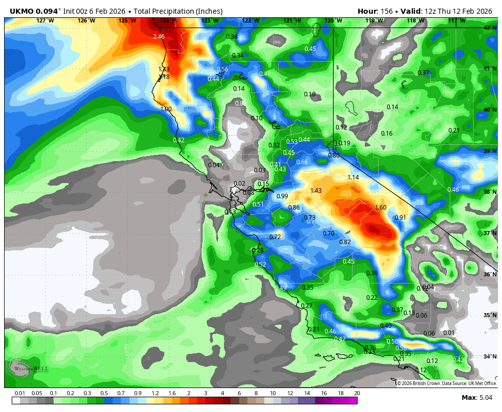
The models are starting to agree on the precipitation increasing between Monday night and Tuesday morning, with snow showers lasting into Tuesday night. Then clearing on Wednesday with a scattered snow shower possible. The track of the wave moving through on Tuesday will make all the difference in snowfall.
Yesterday, most model runs showing this feature had the track through Tahoe, and several still do. Others, show the trend a bit farther south into the central Sierra. When small systems are riding along these fronts, where they stall/slow is crucial to the track. So we will have to watch closely before we are confident in a snowfall forecast.
The temperatures drop on Tuesday into Wednesday with highs in the 30s for the lower elevations and 20s for the upper mountain. The snow levels are expected to drop below base by early Tuesday morning and below 4000 ft. Tuesday night. That will make any snowfall light and powdery by then.
My latest forecast for total snowfall by Wednesday is for around 3-7 inches at the base, 5-10 inches near mid-mountain, and 7-12 inches up top.
Thursday – Friday Break:
The latest model runs continue to show a break in the storms Thursday into next Friday, the 13th, as the first trough exits the region. We could see partly-mostly sunny days with highs in the 30s.
Long-Range Outlook:
The next (larger) cold trough is still forecast to dig in from the north on Valentine’s Day weekend. That position of the trough is forecast to last until around the 18th, and then could lift NE a bit beyond that. Between the 14th – 18th, the long-range models continue to show a wetter pattern and cold as well!
Some models show snow showers showing back up as early as Saturday, the 14th, but most show a chance for bigger storms between the 15th – 18th. Highs on the mountain should be in the 20s during the period.
Nothing is ever a lock until it arrives, so forecasts could change. I’m not forecasting any snowfall amounts beyond 5 days as usual, as too much changes beyond that, even within that. Let’s hope the forecasts continue to hold.
Longer-Range Outlook:
As we go beyond the 18th of February, the longer-range models suggest that the trough could lift north a bit. That could shift the storm track towards the Pacific NW. Some show the trough digging a bit farther south at times.
Overall, if the trough is still over the West Coast, even if the wettest part of the storms are to our north, they should be close enough to bring us at least some snow at times. The pattern is not forecast to ridge up with a dry and mild pattern again, through at least the end of the month. Let’s hope for more good storms!
BA
