

Thursday – Sunday:
We are finishing out the last 4 days of the dry and mild pattern that has lasted the better part of the last month. Partly – mostly sunny skies each day through Sunday. High temperatures in the 40s on the mountains and 50s at lower elevations near lake level.
Monday – Wednesday Storms:
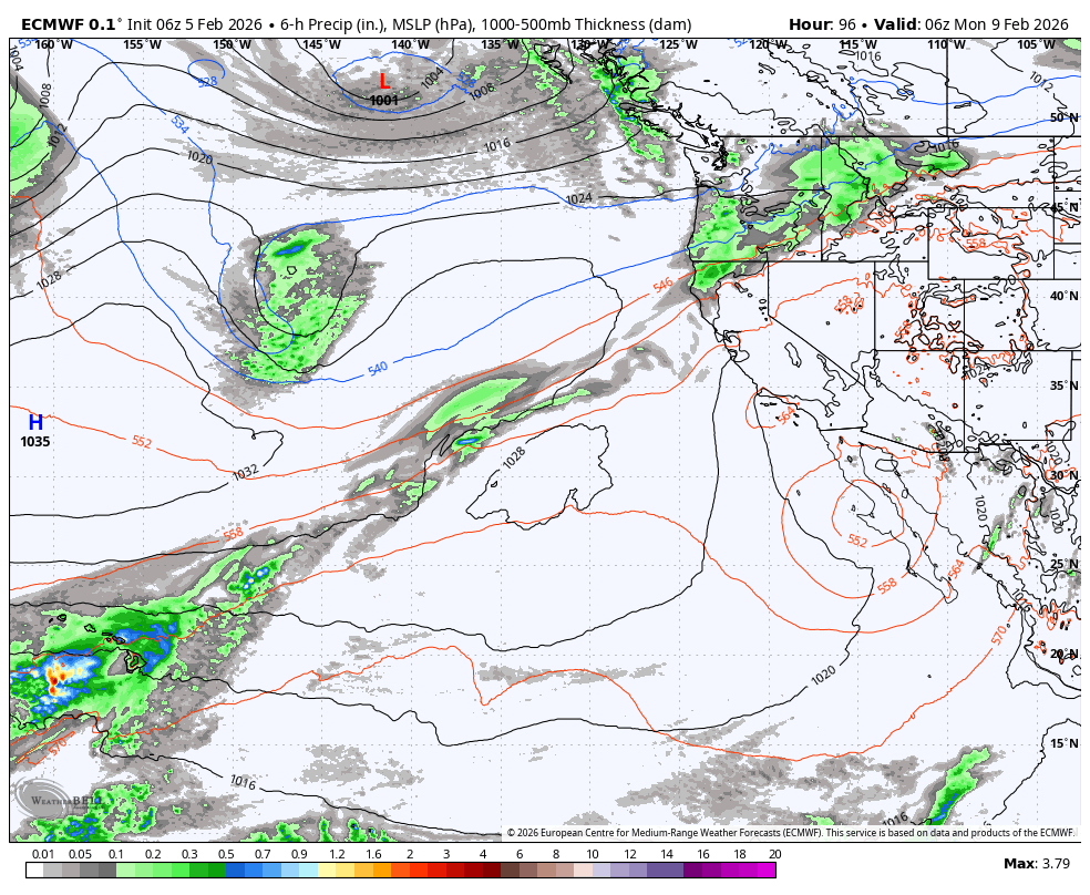
The initial trough, which is forecast to dig south over the West Coast on Monday through Wednesday, is expected to be narrow and possibly centered a bit off the coast. That position is a little complicated for forecasting the storm tracks and how much moisture they will draw in.
We have some forecast model runs this morning that show the weak cold front drying up as it reaches the northern Sierra on Monday, and then the next storm dropping south off the coast into the trough that is too far west. That is bringing a total precipitation forecast that could be completely dry for the Tahoe Basin and just to the south.
On the opposite end, we have some new model runs this morning that suggest the cold front on Monday could stall over the northern Sierra with snow showers, and then a wave could develop off the coast and ride the front east into the Sierra on Tuesday with heavier precipitation.
Monday – Tuesday are now coming into the 5-day forecast window, so I am going to start to look at potential snowfall amounts. The snow levels could start up around 7000-7500 ft. on Monday until the front finally shifts farther south Monday night, dropping them to the base. Then on Tuesday, dropping even lower.
My initial snowfall forecast for totals by Wednesday morning is for around 2-5 inches at the base, 3-7 inches near mid-mountain, and 4-9 inches up top. That is using an average of the very dry and very wet models averaged in, so we will have to fine-tune this forecast as we get closer and the details become clearer.
A Break in the Storms:
We are still expecting a break in the storms on Thursday and Friday as the first trough shifts out of the region. Partly – mostly sunny skies are possible both days. The high temperatures next week will be dropping into the 30s for the lower elevations and 20s for the higher elevations.
The Next Trough:
The long-range models continue to show a broader trough digging into the West Valentine’s Day weekend, which is centered more over the West Coast, and stays in place into the week of the 16th.
That could be a better position for wetter storms if the trough and ridge to its west stay far enough west. If it shifts any farther east, we could see drier storms drop into the west side of the trough. Currently, most models are still showing a chance for snow showers as early as the 14th, and a chance for wetter storms between the 15th – 18th.
Let’s hope this forecast holds for the trough being far enough west for these wetter storms. The first trough brings in colder air, and the 2nd trough is forecast to bring in even colder air, so after Monday, I wouldn’t be too concerned about snow levels with any storms, as they should be cold storms with snow to the base.
Hopes are high, and confidence is low as our emotions are recovering from the snow drought over the last month. Things are still looking good this morning, let’s hope I can say that every morning as we get closer.
BA
