

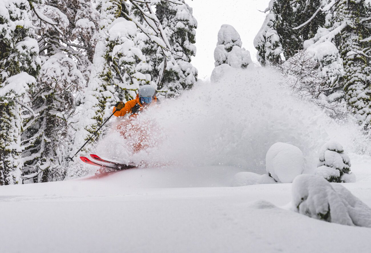
Snowfall Report:
Snow levels finally fell to the base overnight, with an inch of wet snow accumulating. It was all snow on Saturday and Saturday night on the upper mountain, with an additional 14 inches of snow accumulating. That brings the 3-day total to 22 inches and counting.
Sunday – Monday Snow:
The heaviest precipitation from the storm is expected to fall on Sunday. That is expected to continue through the afternoon. Then, Sunday night, the narrow AR shifts south and the snow diminishes, with only scattered snow showers expected into early Monday morning.
We should see some snow showers at times through Monday before the final system clears out. Highs near freezing down at the base, and 20s for the upper mountain for Sunday and Monday. The ridgetop winds from the SW will be gusting up to 50-60+ mph on Sunday, and diminishing on Monday.
The snow levels have dropped to the base, so we expect all snow down to the base/village with this final round of snow. By Monday night, we could see an additional 8-14 inches at the base, 13-18 inches of snow at mid-mountain, and 15-21 inches up top. Most of that will fall by Sunday night.
Tuesday Weather:
A break between storms for Tuesday. Partly sunny skies with highs in the 30s for the lower elevations and 20s for the higher elevations.
Wednesday System:
The trend with the Wednesday system is farther north, with less of a chance for the system to track far enough south to bring us any meaningful precipitation. As of this morning, the latest model runs are only showing a dusting to an inch of snow with this system. Highs in the 30s.
Dry Weekend:
The latest model runs are now keeping us dry for Thursday, and then high pressure builds in over the region into the weekend. That will bring us a dry pattern with sunny days through next weekend. Highs into the 30s.
Long-Range Outlook:
Some warmer temperatures are possible by the 12th-15th, with highs warming into the 40s for the lower elevations. It may also bring us inversions.
The long-range models continue to show the ridge shifting NW towards the Gulf of Alaska during the 3rd week of January, but they are starting to slow down that shift a bit, as I suggested they might yesterday.
The good news is that as it shifts NW, it will put us in more of a northerly flow, with colder temperatures returning. If it shifts far enough NW, we could eventually see colder systems from the north, which some model runs show around the 17th-18th, but not buying into that this far out.
We’ll continue to watch the trends, but for now, we are expecting to go into at least a 10-day dry pattern by the end of this week into the 3rd week of January.
BA
