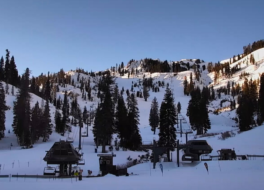
Another Week of Dry Weather:
We are waiting out this prolonged dry pattern hoping for a change in the pattern later in the month. Until then we have another week of dry weather ahead, likely into next weekend.
High pressure over the region this week with the mean ridge position centered near the Pacific NW coast, and a low-pressure area moving underneath again into the middle of the week. That setup will continue the gusty northeast winds over the ridges for the weekend through at least Tuesday. It will also keep temperatures on the cooler side with highs in the 30s.
The winds start to shift more westerly starting Wednesday into next weekend. The sunny days continue but with high temperatures warming into the 40s. We should stay completely dry through at least Friday and likely into next weekend.
Long-Range Forecast:
We are still watching for the pattern to start shifting starting around the 18th through the 24th, with the ridge backing away from the coast allowing a large western trough to expand westward towards the West Coast.
That may only allow some cooler air into the region but could open the door to some weak systems. The ensemble mean models show light amounts of precipitation possibly falling between the 20th-24th.
The ridge retrogression is still forecast to continue, painfully slowly, as we go into the last 7 days of January, with the mean ridge position forecast to shift up toward the Aleutian Islands. That may open the door a bit more with wetter storms possible before the end of the month. Let’s hope…
BA


