Spring Weather Locks In:
High pressure builds in over CA Monday through the weekend and into early next week. That is expected to bring milder temperatures. Highs into the 50s for the lower elevations and 40s for the higher elevations on Monday. Then highs in the 50s to near 60 degrees at the base are expected into early next week.
We will keep an eye out for enough moisture to spark off an afternoon shower or two into early next week, but right now the forecast models show a well-below-average/dry pattern.
Long-Range Forecast:
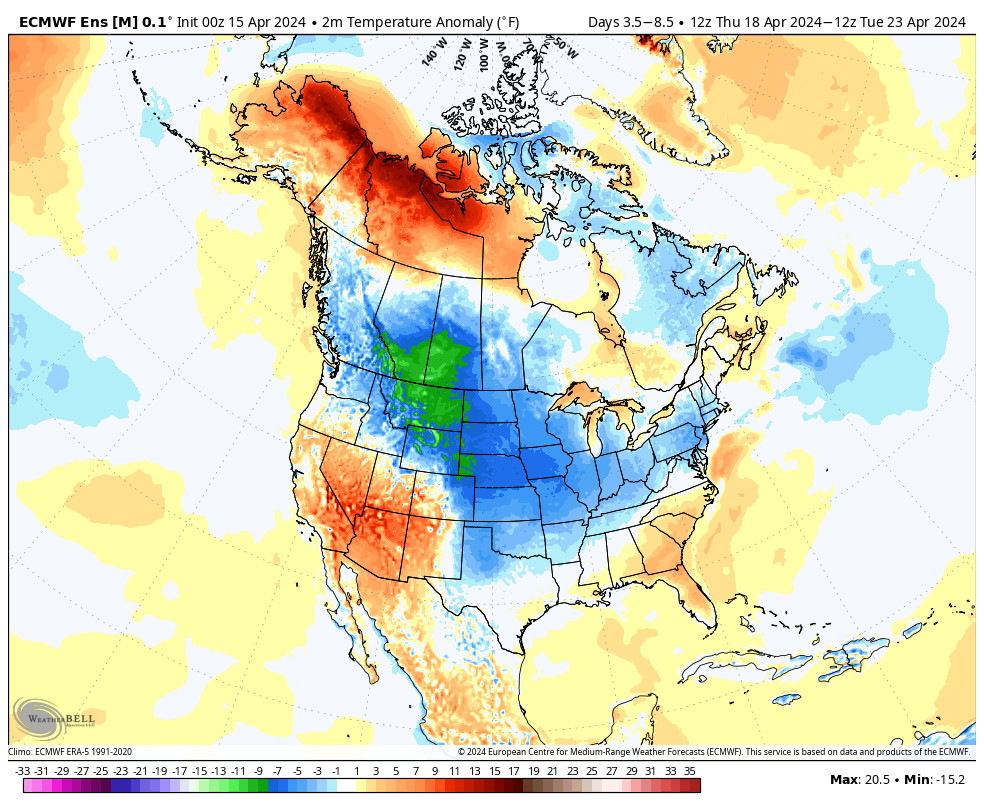
During the last week of April, the long-range models still show some weak troughs trying to dig through CA. That could bring some colder air into the region. Not winter-time cold, but below average for the last week of April.
That could open the door to a few weak late-season systems as well, but maybe just enough moisture to touch off some afternoon showers over the mountains from afternoon heating. The long-range models show near-average precipitation for the last week of April, but the average isn’t that high.
We’ll keep an eye out for any organized systems that could possibly bring a better chance for some showers, and maybe a little mountain snow before the end of the month.
BA
P.S. I’m on a Mon-Wed-Fri posting schedule for the 2nd half of April as we wrap up the snow season and the Alpine Meadows side closes on the 28th. I look forward to getting back to forecasting again in the fall as we ramp up into the 2024-25 ski season!


