Thursday:
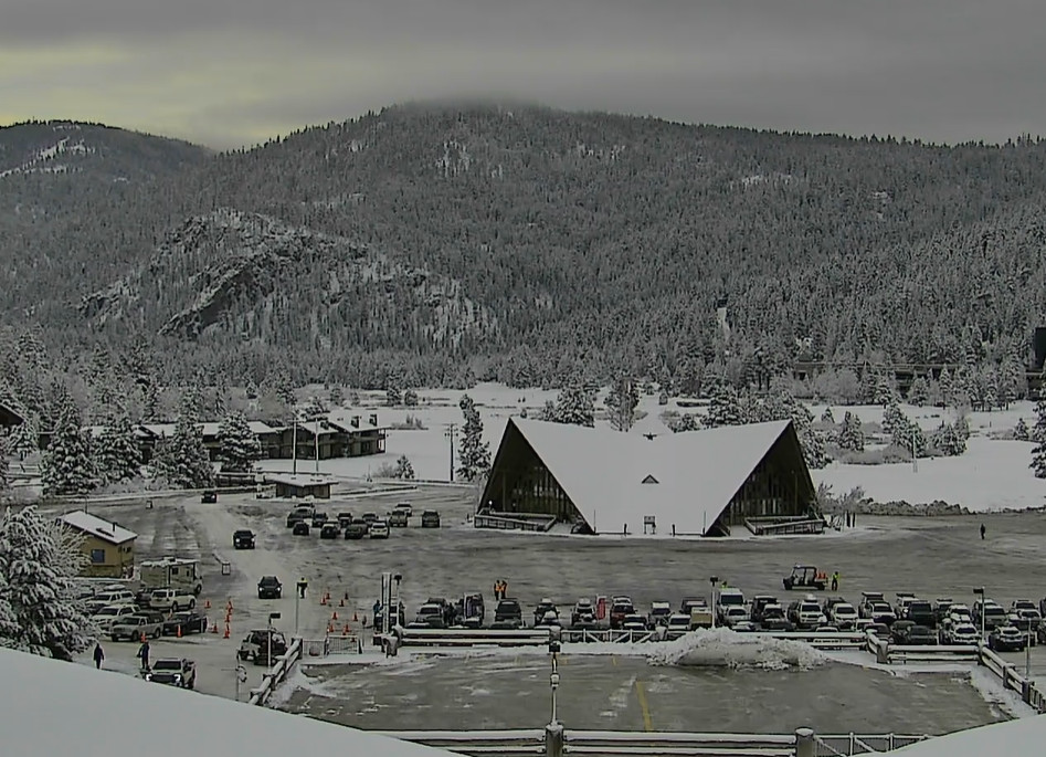
We have some clouds over the area Thursday morning from a final weak front moving through. We will see the sun peek out as well as the chance for a few scattered snow showers. But not expecting more than a dusting of snow on the mountains. Highs in the 30s to near 40 degrees at the base.
Friday Weather:
High pressure builds in over CA Friday with highs in the 40s for the lower elevations and 30s for the upper mountain, along with mostly sunny skies.
Windy Weekend with Snow Showers:
Saturday and Sunday we could see partly sunny skies in the morning and increasing clouds in the afternoon with some showers both afternoons into the evening from the first two storms. Highs in the 30s to near 40 degrees down at the base. Ridgetop winds from the southwest gusting up to 60-70+ mph both days, making for a windy weekend with some upper mountain lift closures possible.
The Saturday system washes out over the northern Sierra with very little precipitation expected to reach the Sierra. Maybe enough for a dusting of snow on the upper mountain. The wettest models show up to 1-2 inches on the peaks.
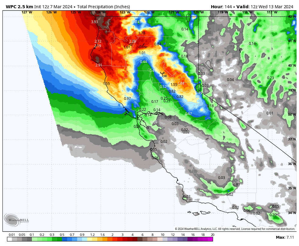
The second system is moving in faster on the latest model runs and could reach the northern Sierra by Sunday afternoon, with snow into Sunday night and snowshoers lingering into Monday. Snow levels start around 6100-6600 ft. Sunday afternoon and falling to 4000-4500 ft. by Monday morning.
We could see around 2-5 inches at the base and 4-8 inches of snow on the mountain by Monday morning.
Monday – Tuesday Storms:
Scattered snow showers are possible through Monday from the first system along with partly sunny skies, and then snow showers are possible Monday night as the next system moves in. Then another round of steadier snow for Tuesday and snow showers clearing out later Tuesday night.
The latest model runs show the winds dropping on Monday into Tuesday. We’ll keep watching the trends on that to see if the winds won’t be as strong with the 3rd system. Highs into the 30s both days.
The latest model runs show similar amounts of precipitation falling Monday through Tuesday as Sunday through Sunday night, basically doubling down. Snow levels rise near the base Monday afternoon, drop below the base Monday night, and then back up near the base by Tuesday evening. Wet snow for the lower elevations and lighter but not overly powdery snow for the upper mountain.
Monday and Monday night we may only see up to a dusting to an inch of snow with the scattered snow showers, and then a final round of steadier snow Tuesday. Storm totals could be similar to the Sunday – Sunday night storm, around 2-5 inches near the base and 4-8 inches on the mountain by Wednesday morning.
Drier Pattern:
The forecast models continue to show strong high-pressure building in starting Wednesday and becoming quite strong over the region by the weekend of the 16th-17th. That should keep us completely dry through the period with temperatures starting to warm. Highs into the 40s later next week and 50s going into the weekend of the 16th-17th.
Long-Range Forecast:
The long-range models show the ridge weakening with time, but the operational models aren’t showing any storms through at least the 23rd. The ensemble mean models show well below average precipitation with weak if any storms moving through.
We’ll continue to watch the long-range for any signs of storms returning as we go into spring.
BA


